Fuwwah night lights from space
Night Light of Fuwwah (Kafr el-Sheikh) from space (Egypt) Src. Average luminocity for 10x10km area is 70.1813% and for 50x50km: 58.4693%.
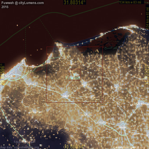
Analysis of Fuwwah night lights 2016
Square area 10x10 km:
 8.42%
8.42%90-99
10.44%80-89
16.3%70-79
11.72%60-69
15.38%50-59
24.36%40-49
12.82%30-39
0.55%20-29
0%10-19
0%0-9
0%Square area 50x50 km:
3.38%90-99
6.93%80-89
13.42%70-79
9.57%60-69
13.22%50-59
16.99%40-49
18.09%30-39
8.09%20-29
3.08%10-19
3.04%0-9
4.19%Clear (daylight) street map image can be seen on geolist.org.
Map coordinates:
31° 48' 11.3" North, 29° 50' 45.5" East
31° 12' 13.1" North, 30° 32' 56.7" East
30° 36' 1.2" North, 31° 15' 8" East
Some cities around Fuwwah sort by population:
• Kafr ad Dawwār
40.6 km =25.2 mi,  258°
258°
• Damanhūr
20.4 km =12.7 mi,  202°
202°
• Idkū
26.5 km =16.5 mi,  295°
295°
• Kafr ash Shaykh
38.6 km =24 mi,  105°
105°
• Disūq
12.3 km =7.6 mi,  130°
130°
• Rosetta
25.1 km =15.6 mi,  330°
330°
• Basyūn
38.7 km =24 mi,  139°
139°
• Sīdī Sālim
23.8 km =14.8 mi,  71°
71°
356806 (p: 63,310)
Sources (retrieved 2019-11-25):
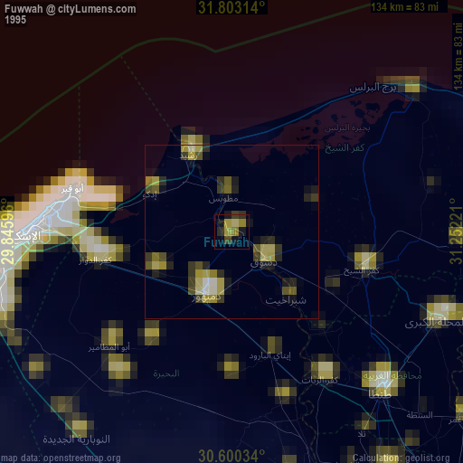
» NASA, Earths city lights 1995
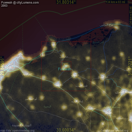
» NASA city lights 2003
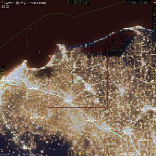
» Earth at Night: Flat Maps 2012, 2016