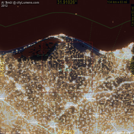
Al Ḩāmūl night lights from space
Night Light of Al Ḩāmūl (Kafr el-Sheikh) from space (Egypt) Src. Average luminocity for 10x10km area is 54.4738% and for 50x50km: 44.8687%.
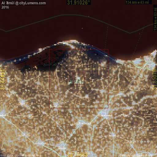
Analysis of Al Ḩāmūl night lights 2016
Square area 10x10 km:
 2.27%
2.27%90-99
4.55%80-89
12.24%70-79
6.29%60-69
8.22%50-59
8.57%40-49
34.44%30-39
17.48%20-29
5.94%10-19
0%0-9
0%Square area 50x50 km:
2.01%90-99
3.75%80-89
6.75%70-79
6.61%60-69
7.89%50-59
12.65%40-49
17%30-39
17.04%20-29
9.78%10-19
4.2%0-9
12.32%Clear (daylight) street map image can be seen on geolist.org.
Map coordinates:
31° 54' 36.9" North, 30° 26' 40.3" East
31° 18' 41.3" North, 31° 8' 51.6" East
30° 42' 31.8" North, 31° 51' 2.8" East
Some cities around Al Ḩāmūl sort by population:
• Al Maḩallah al Kubrá
37.9 km =23.5 mi,  177°
177°
• Al Manşūrah
37.8 km =23.5 mi,  144°
144°
• Ţalkhā
36.1 km =22.4 mi, 142°
• Kafr ash Shaykh
29.7 km =18.5 mi,  221°
221°
• Bilqās
22.7 km =14.1 mi,  118°
118°
• Samannūd
39.9 km =24.8 mi,  167°
167°
• Shirbīn
38 km =23.6 mi,  109°
109°
• Sīdī Sālim
34.6 km =21.5 mi,  262°
262°
361213 (p: 45,798)
Sources (retrieved 2019-11-25):
» Earth at Night: Flat Maps 2012, 2016