Disūq night lights from space
Night Light of Disūq (Kafr el-Sheikh) from space (Egypt) Src. Average luminocity for 10x10km area is 74.8242% and for 50x50km: 65.0113%.
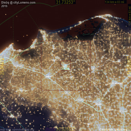
Analysis of Disūq night lights 2016
Square area 10x10 km:
 11.9%
11.9%90-99
15.2%80-89
19.78%70-79
8.97%60-69
14.84%50-59
21.98%40-49
6.96%30-39
0.37%20-29
0%10-19
0%0-9
0%Square area 50x50 km:
3.49%90-99
7.14%80-89
15.82%70-79
12.81%60-69
15.62%50-59
22.36%40-49
17.57%30-39
4.64%20-29
0.53%10-19
0.01%0-9
0%Clear (daylight) street map image can be seen on geolist.org.
Map coordinates:
31° 43' 57.1" North, 29° 56' 41" East
31° 7' 57.3" North, 30° 38' 52.2" East
30° 31' 43.8" North, 31° 21' 3.5" East
Some cities around Disūq sort by population:
• Damanhūr
20.3 km =12.6 mi,  237°
237°
• Kafr ash Shaykh
27.9 km =17.3 mi,  94°
94°
• Rosetta
36.9 km =22.9 mi,  323°
323°
• Fuwwah
12.3 km =7.6 mi,  310°
310°
• Basyūn
26.6 km =16.5 mi,  143°
143°
• Sīdī Sālim
20.3 km =12.6 mi,  40°
40°
• Ad Dilinjāt
35.5 km =22.1 mi,  197°
197°
• Quţūr
34.4 km =21.4 mi,  121°
121°
358108 (p: 102,037)
Sources (retrieved 2019-11-25):
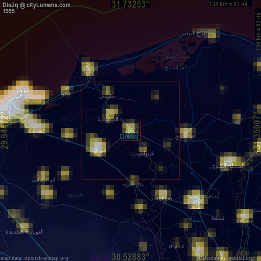
» NASA, Earths city lights 1995
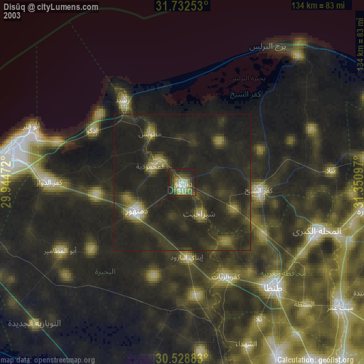
» NASA city lights 2003
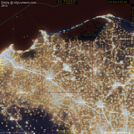
» Earth at Night: Flat Maps 2012, 2016