Shibīn al Qanāṭir night lights from space
Night Light of Shibīn al Qanāṭir (Qalyubia) from space (Egypt) Src. Average luminocity for 10x10km area is 86.8535% and for 50x50km: 88.5056%.
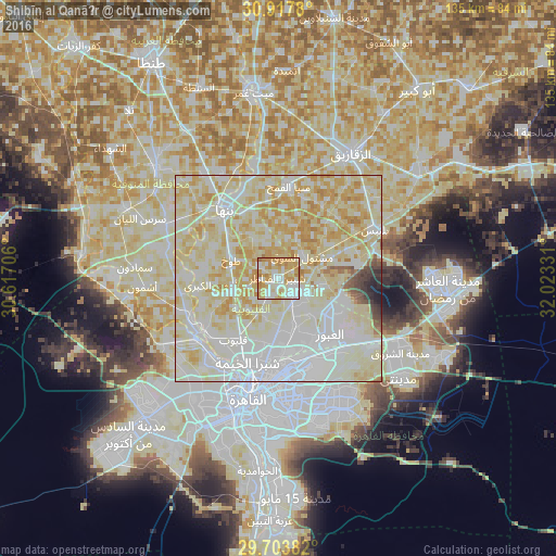
Analysis of Shibīn al Qanāṭir night lights 2016
Square area 10x10 km:
 17.95%
90-99
28.21%80-89
21.79%70-79
25.64%60-69
6.41%50-59
0%40-49
0%30-39
0%20-29
0%10-19
0%0-9
0%Square area 50x50 km:
24.29%90-99
31.1%80-89
26.54%70-79
11.56%60-69
2.66%50-59
0.94%40-49
1.02%30-39
0.87%20-29
0.67%10-19
0.36%0-9
0%Clear (daylight) street map image can be seen on geolist.org.
Map coordinates:
30° 55' 4.1" North, 30° 37' 1.4" East
30° 18' 45.7" North, 31° 19' 12.6" East
29° 42' 13.8" North, 32° 1' 23.9" East
Some cities around Shibīn al Qanāṭir sort by population:
• Banhā
20.9 km =13 mi,  321°
321°
• Bilbays
26.1 km =16.2 mi,  62°
62°
• Qalyūb
18.5 km =11.5 mi,  216°
216°
• Toukh
12.4 km =7.7 mi,  292°
292°
• Awsīm
27.5 km =17.1 mi, 220°
• Al Khānkah
12.3 km =7.6 mi,  157°
157°
• Al Qanāţir al Khayrīyah
22 km =13.7 mi,  232°
232°
• Mashtūl as Sūq
7.7 km =4.8 mi,  45°
45°
349156 (p: 56,872)
Sources (retrieved 2019-11-25):
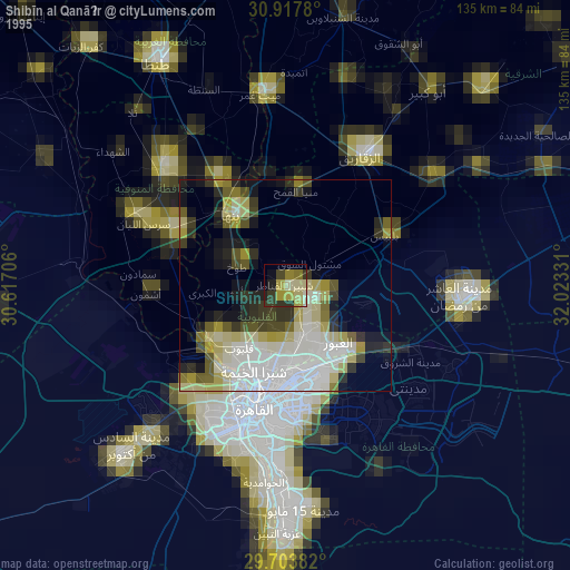
» NASA, Earths city lights 1995
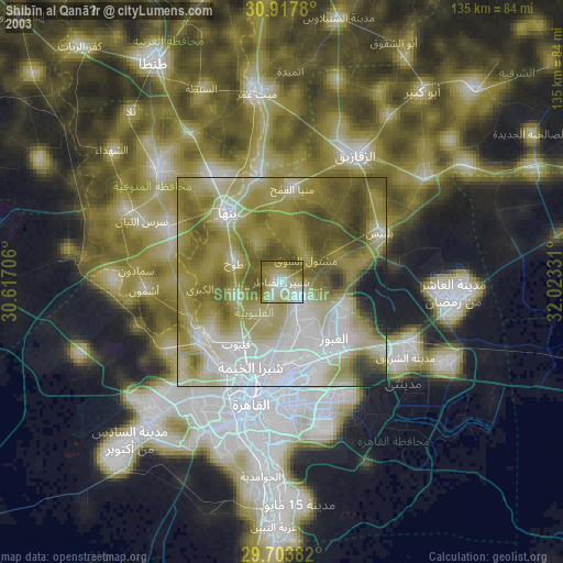
» NASA city lights 2003
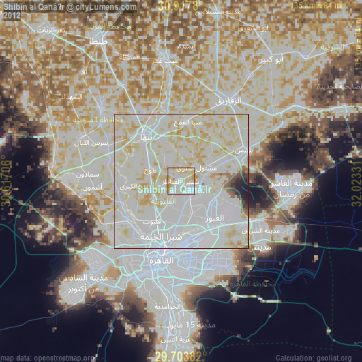
» Earth at Night: Flat Maps 2012, 2016