Bilbays night lights from space
Night Light of Bilbays (Sharqia) from space (Egypt) Src. Average luminocity for 10x10km area is 82.8773% and for 50x50km: 72.5698%.
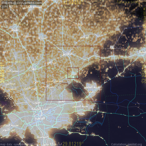
Analysis of Bilbays night lights 2016
Square area 10x10 km:
 12.45%
90-99
24.18%80-89
34.43%70-79
11.36%60-69
7.33%50-59
5.86%40-49
4.4%30-39
0%20-29
0%10-19
0%0-9
0%Square area 50x50 km:
11.7%90-99
20.04%80-89
23.55%70-79
13.43%60-69
5.81%50-59
4.06%40-49
5.04%30-39
4.55%20-29
4.53%10-19
5.07%0-9
2.22%Clear (daylight) street map image can be seen on geolist.org.
Map coordinates:
31° 1' 29.4" North, 30° 51' 32.8" East
30° 25' 13.4" North, 31° 33' 44" East
29° 48' 43.9" North, 32° 15' 55.3" East
Some cities around Bilbays sort by population:
• Zagazig
19.5 km =12.1 mi,  342°
342°
• Al Khānkah
29.9 km =18.6 mi,  218°
218°
• Al Qurayn
27.4 km =17 mi,  37°
37°
• Shibīn al Qanāṭir
26.1 km =16.2 mi,  242°
242°
• At Tall al Kabīr
25.3 km =15.7 mi,  57°
57°
• Mashtūl as Sūq
18.9 km =11.7 mi,  249°
249°
• Hihyā
28 km =17.4 mi,  5°
5°
• Al Qanāyāt
24.1 km =15 mi, 336°
358840 (p: 129,211)
Sources (retrieved 2019-11-25):
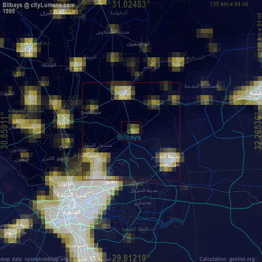
» NASA, Earths city lights 1995
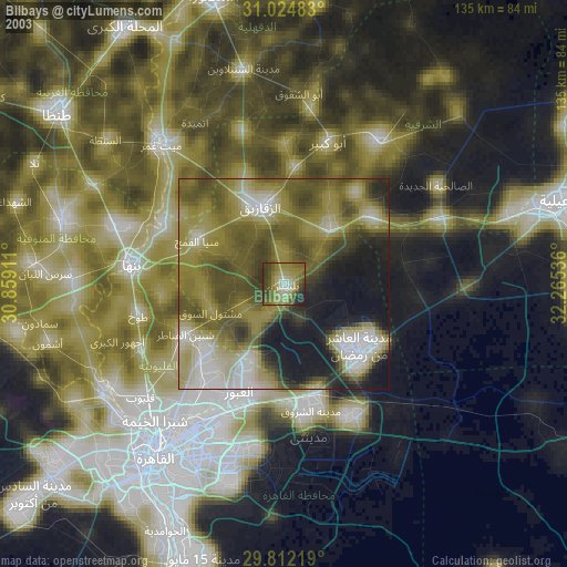
» NASA city lights 2003
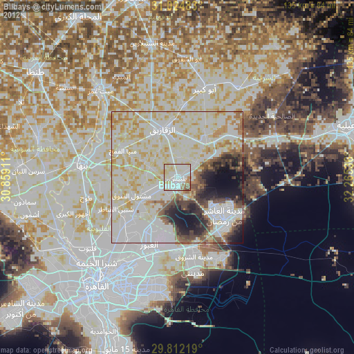
» Earth at Night: Flat Maps 2012, 2016