Qalyūb night lights from space
Night Light of Qalyūb (Qalyubia) from space (Egypt) Src. Average luminocity for 10x10km area is 96.9633% and for 50x50km: 92.141%.
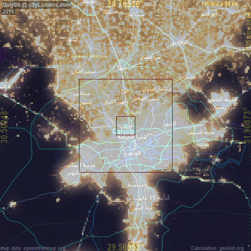
Analysis of Qalyūb night lights 2016
Square area 10x10 km:
 43.36%
90-99
49.3%80-89
6.64%70-79
0.7%60-69
0%50-59
0%40-49
0%30-39
0%20-29
0%10-19
0%0-9
0%Square area 50x50 km:
39.8%90-99
30.55%80-89
18.28%70-79
6.31%60-69
2.06%50-59
0.82%40-49
1.15%30-39
0.84%20-29
0.18%10-19
0%0-9
0%Clear (daylight) street map image can be seen on geolist.org.
Map coordinates:
30° 47' 6.6" North, 30° 30' 8.9" East
30° 10' 45.2" North, 31° 12' 20.2" East
29° 34' 10.3" North, 31° 54' 31.4" East
Some cities around Qalyūb sort by population:
• Cairo
13.6 km =8.5 mi,  161°
161°
• Giza
18.9 km =11.7 mi,  179°
179°
• Ashmūn
25.6 km =15.9 mi,  300°
300°
• Toukh
19.5 km =12.1 mi,  358°
358°
• Awsīm
9.2 km =5.7 mi,  227°
227°
• Al Khānkah
16 km =9.9 mi,  77°
77°
• Shibīn al Qanāṭir
18.5 km =11.5 mi,  36°
36°
• Al Qanāţir al Khayrīyah
6.8 km =4.2 mi,  283°
283°
350789 (p: 100,495)
Sources (retrieved 2019-11-25):
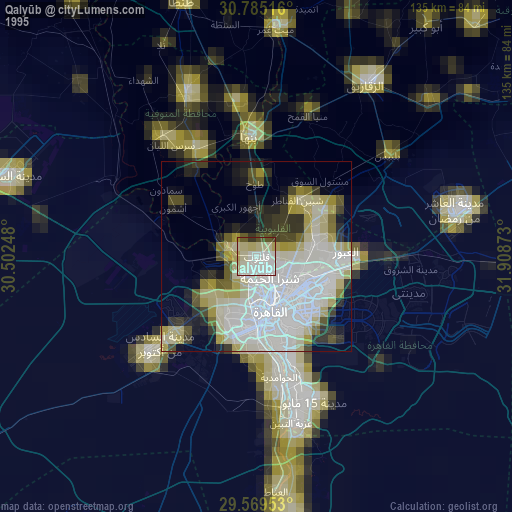
» NASA, Earths city lights 1995
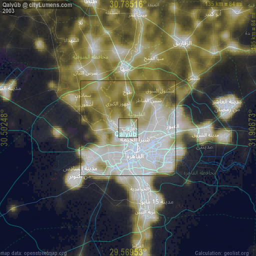
» NASA city lights 2003
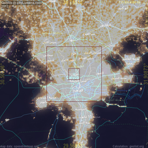
» Earth at Night: Flat Maps 2012, 2016