Al Khānkah night lights from space
Night Light of Al Khānkah (Qalyubia) from space (Egypt) Src. Average luminocity for 10x10km area is 97.5944% and for 50x50km: 86.0655%.
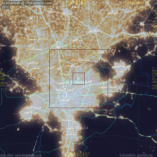
Analysis of Al Khānkah night lights 2016
Square area 10x10 km:
 48.95%
90-99
46.85%80-89
3.5%70-79
0.7%60-69
0%50-59
0%40-49
0%30-39
0%20-29
0%10-19
0%0-9
0%Square area 50x50 km:
35.08%90-99
24.63%80-89
19.37%70-79
7.28%60-69
2.36%50-59
2.26%40-49
2.57%30-39
2.26%20-29
1.73%10-19
2.1%0-9
0.36%Clear (daylight) street map image can be seen on geolist.org.
Map coordinates:
30° 48' 58" North, 30° 39' 54" East
30° 12' 37.3" North, 31° 22' 5.2" East
29° 36' 3.1" North, 32° 4' 16.5" East
Some cities around Al Khānkah sort by population:
• Cairo
20 km =12.4 mi,  214°
214°
• New Cairo
22.3 km =13.9 mi,  153°
153°
• Qalyūb
16 km =9.9 mi,  257°
257°
• Toukh
22.7 km =14.1 mi,  315°
315°
• Awsīm
24.4 km =15.2 mi,  246°
246°
• Shibīn al Qanāṭir
12.3 km =7.6 mi,  337°
337°
• Al Qanāţir al Khayrīyah
22.3 km =13.9 mi,  265°
265°
• Mashtūl as Sūq
16.7 km =10.4 mi,  3°
3°
360928 (p: 62,434)
Sources (retrieved 2019-11-25):
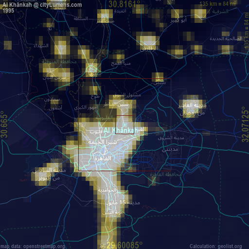
» NASA, Earths city lights 1995
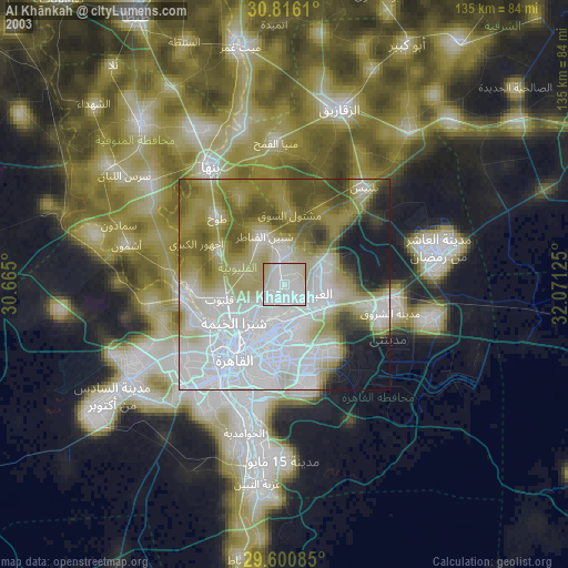
» NASA city lights 2003
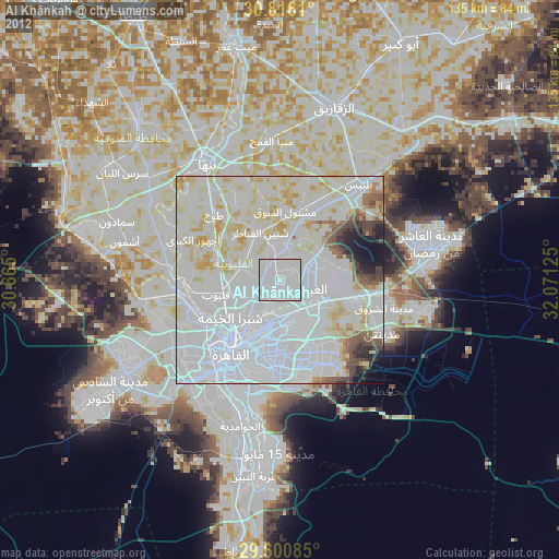
» Earth at Night: Flat Maps 2012, 2016