Mashtūl as Sūq night lights from space
Night Light of Mashtūl as Sūq (Sharqia) from space (Egypt) Src. Average luminocity for 10x10km area is 83.2033% and for 50x50km: 84.5354%.
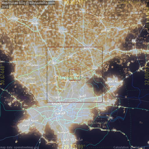
Analysis of Mashtūl as Sūq night lights 2016
Square area 10x10 km:
 8.61%
8.61%90-99
16.85%80-89
38.28%70-79
24.36%60-69
11.9%50-59
0%40-49
0%30-39
0%20-29
0%10-19
0%0-9
0%Square area 50x50 km:
19.53%90-99
28.48%80-89
26.65%70-79
13.11%60-69
3.61%50-59
1.68%40-49
1.82%30-39
1.69%20-29
1.52%10-19
1.76%0-9
0.13%Clear (daylight) street map image can be seen on geolist.org.
Map coordinates:
30° 57' 55.3" North, 30° 40' 28.1" East
30° 21' 38" North, 31° 22' 39.4" East
29° 45' 7.2" North, 32° 4' 50.6" East
Some cities around Mashtūl as Sūq sort by population:
• Zagazig
27.9 km =17.3 mi,  25°
25°
• Banhā
21.6 km =13.4 mi,  300°
300°
• Bilbays
18.9 km =11.7 mi,  69°
69°
• Qalyūb
26.1 km =16.2 mi,  219°
219°
• Toukh
17 km =10.6 mi,  267°
267°
• Al Khānkah
16.7 km =10.4 mi,  183°
183°
• Shibīn al Qanāṭir
7.7 km =4.8 mi,  225°
225°
• Al Qanāţir al Khayrīyah
29.7 km =18.5 mi, 231°
352679 (p: 45,798)
Sources (retrieved 2019-11-25):
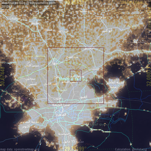
» Earth at Night: Flat Maps 2012, 2016