Ashmūn night lights from space
Night Light of Ashmūn (Monufia) from space (Egypt) Src. Average luminocity for 10x10km area is 90.8535% and for 50x50km: 69.6205%.
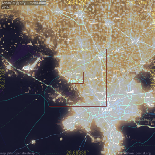
Analysis of Ashmūn night lights 2016
Square area 10x10 km:
 17.03%
90-99
38.28%80-89
37%70-79
7.33%60-69
0.37%50-59
0%40-49
0%30-39
0%20-29
0%10-19
0%0-9
0%Square area 50x50 km:
13.93%90-99
24.36%80-89
22.5%70-79
7.44%60-69
1.89%50-59
1.71%40-49
3.11%30-39
5.07%20-29
4.65%10-19
6.4%0-9
8.95%Clear (daylight) street map image can be seen on geolist.org.
Map coordinates:
30° 54' 9.2" North, 30° 16' 23.8" East
30° 17' 50.5" North, 30° 58' 35.1" East
29° 41' 18.2" North, 31° 40' 46.3" East
Some cities around Ashmūn sort by population:
• Shibīn al Kawm
28.6 km =17.8 mi,  6°
6°
• Banhā
26.9 km =16.7 mi,  47°
47°
• Qalyūb
25.6 km =15.9 mi,  120°
120°
• Munūf
19.2 km =11.9 mi,  347°
347°
• Toukh
22.5 km =14 mi,  73°
73°
• Awsīm
24.7 km =15.3 mi,  141°
141°
• Al Qanāţir al Khayrīyah
19.3 km =12 mi,  126°
126°
• Al Bājūr
15.9 km =9.9 mi,  21°
21°
360048 (p: 82,507)
Sources (retrieved 2019-11-25):
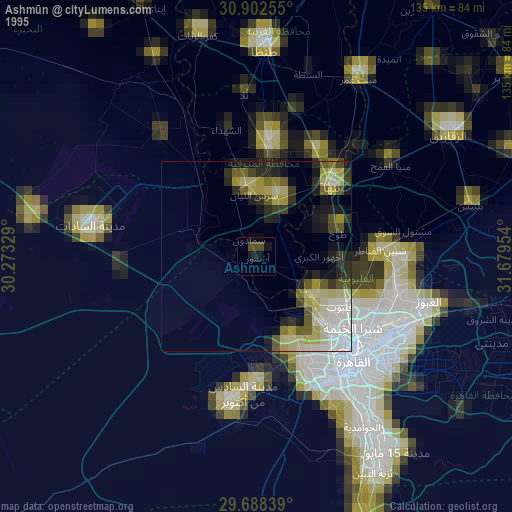
» NASA, Earths city lights 1995
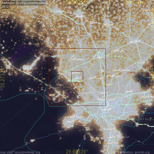
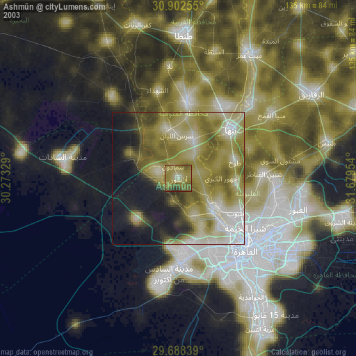
» NASA city lights 2003
» Earth at Night: Flat Maps 2012, 2016