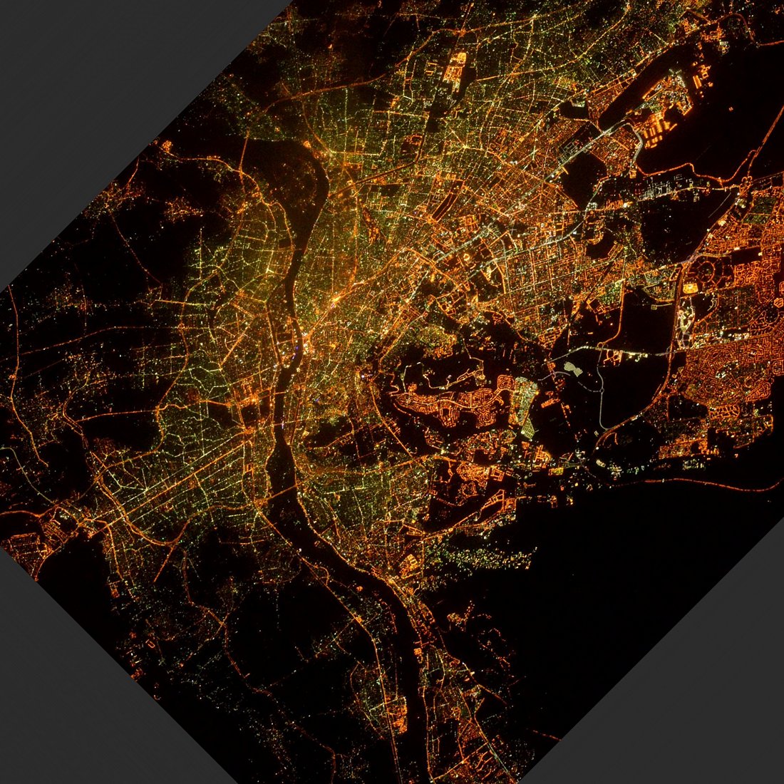
Cairo night lights from space
Night Light of Cairo from space (Egypt) Src. Average luminocity for 10x10km area is 99.9886% and for 50x50km: 85.637%.
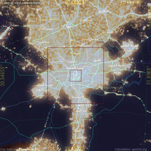
Analysis of Cairo night lights 2016
Square area 10x10 km:
 98.86%
90-99
1.14%80-89
0%70-79
0%60-69
0%50-59
0%40-49
0%30-39
0%20-29
0%10-19
0%0-9
0%Square area 50x50 km:
42.23%90-99
27.01%80-89
11.48%70-79
3.5%60-69
1.59%50-59
1.72%40-49
2.81%30-39
2.02%20-29
2.49%10-19
2.16%0-9
2.99%Clear (daylight) street map image can be seen on geolist.org.
Map coordinates:
30° 40' 9.4" North, 30° 32' 47.6" East
30° 3' 45.5" North, 31° 14' 58.8" East
29° 27' 8" North, 31° 57' 10.1" East
Fantastic image of Cairo from space taken by astronauts [src2], but I don't have information about it's orientation, scale or angle. If necessary, it was rotated manually, so North points approximately to upper direction. Click to zoom in:
Some cities around Cairo sort by population:
• Giza
7.1 km =4.4 mi,  213°
213°
• Ḩalwān
25.1 km =15.6 mi,  168°
168°
• New Cairo
21.5 km =13.4 mi,  99°
99°
• Al Ḩawāmidīyah
18.1 km =11.2 mi,  179°
179°
• Qalyūb
13.6 km =8.5 mi,  341°
341°
• Awsīm
12.9 km =8 mi,  301°
301°
• Al Khānkah
20 km =12.4 mi,  34°
34°
• Al Qanāţir al Khayrīyah
18.1 km =11.2 mi,  323°
323°
360630 (p: 7,734,614)
Sources (retrieved 2019-11-25):
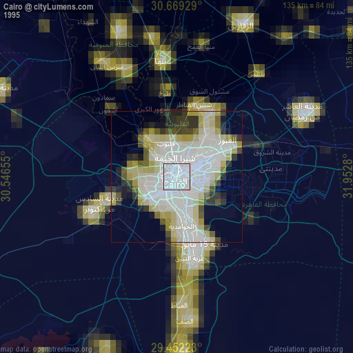
» NASA, Earths city lights 1995
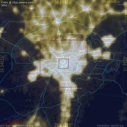
» NASA city lights 2003
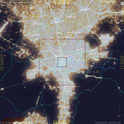
» Earth at Night: Flat Maps 2012, 2016
Src.2: Tim Kopra, Twitter/@astro_tim, 2016-05-13