Abū Kabīr night lights from space
Night Light of Abū Kabīr (Sharqia) from space (Egypt) Src. Average luminocity for 10x10km area is 85.9091% and for 50x50km: 74.3354%.
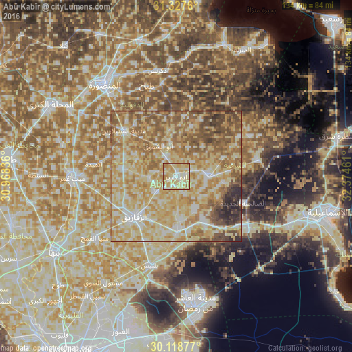
Analysis of Abū Kabīr night lights 2016
Square area 10x10 km:
 11.64%
90-99
25.82%80-89
35.27%70-79
19.82%60-69
7.45%50-59
0%40-49
0%30-39
0%20-29
0%10-19
0%0-9
0%Square area 50x50 km:
7.84%90-99
14.74%80-89
24.44%70-79
16.55%60-69
13.93%50-59
11.57%40-49
5.76%30-39
2.49%20-29
2.63%10-19
0.05%0-9
0%Clear (daylight) street map image can be seen on geolist.org.
Map coordinates:
31° 19' 39.4" North, 30° 58' 6.1" East
30° 43' 30.3" North, 31° 40' 17.3" East
30° 7' 7.6" North, 32° 22' 28.6" East
Some cities around Abū Kabīr sort by population:
• Zagazig
22.3 km =13.9 mi,  226°
226°
• Fāqūs
12 km =7.5 mi,  88°
88°
• Al Qurayn
13.6 km =8.5 mi,  153°
153°
• Diyarb Najm
22.3 km =13.9 mi,  278°
278°
• At Tall al Kabīr
23 km =14.3 mi, 151°
• Hihyā
10 km =6.2 mi, 233°
• Kafr Şaqr
8.8 km =5.5 mi,  330°
330°
• Al Ibrāhīmīyah
10.4 km =6.5 mi,  266°
266°
362485 (p: 100,684)
Sources (retrieved 2019-11-25):
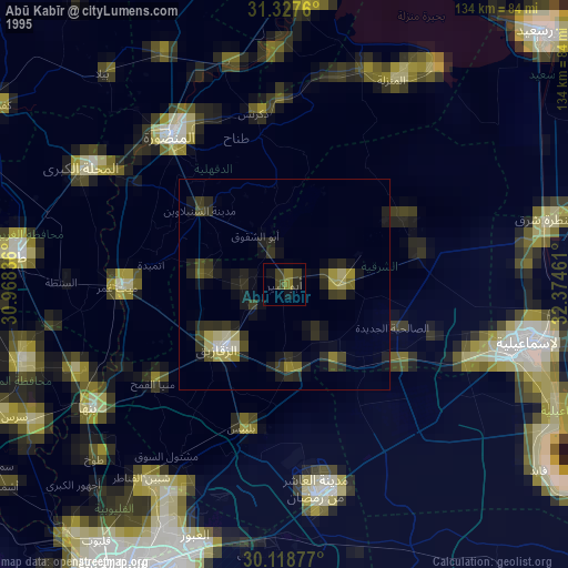
» NASA, Earths city lights 1995
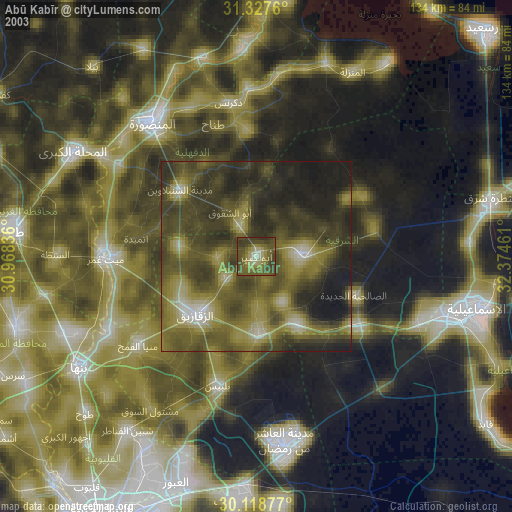
» NASA city lights 2003
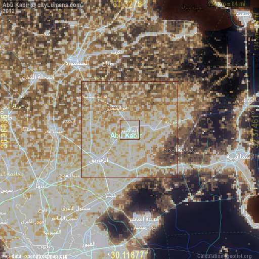
» Earth at Night: Flat Maps 2012, 2016