Hihyā night lights from space
Night Light of Hihyā (Sharqia) from space (Egypt) Src. Average luminocity for 10x10km area is 83.5262% and for 50x50km: 78.2553%.
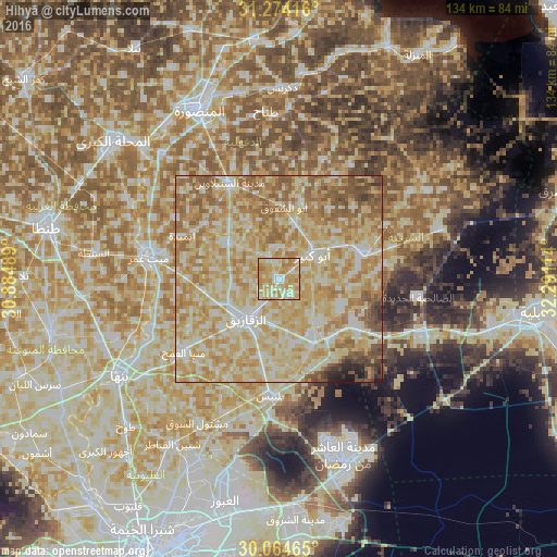
Analysis of Hihyā night lights 2016
Square area 10x10 km:
 8.92%
8.92%90-99
21.85%80-89
31.47%70-79
28.67%60-69
9.09%50-59
0%40-49
0%30-39
0%20-29
0%10-19
0%0-9
0%Square area 50x50 km:
8.95%90-99
17.89%80-89
26.93%70-79
19.11%60-69
13.7%50-59
8.02%40-49
2.92%30-39
1.03%20-29
0.92%10-19
0.54%0-9
0%Clear (daylight) street map image can be seen on geolist.org.
Map coordinates:
31° 16' 27" North, 30° 53' 5.6" East
30° 40' 16.7" North, 31° 35' 16.8" East
30° 3' 52.7" North, 32° 17' 28.1" East
Some cities around Hihyā sort by population:
• Zagazig
12.4 km =7.7 mi,  221°
221°
• Abū Kabīr
10 km =6.2 mi,  53°
53°
• Fāqūs
21 km =13 mi,  72°
72°
• Al Qurayn
15.4 km =9.6 mi,  113°
113°
• Diyarb Najm
16.9 km =10.5 mi,  303°
303°
• Al Qanāyāt
13.4 km =8.3 mi,  244°
244°
• Kafr Şaqr
14 km =8.7 mi,  14°
14°
• Al Ibrāhīmīyah
5.8 km =3.6 mi,  335°
335°
355939 (p: 43,432)
Sources (retrieved 2019-11-25):
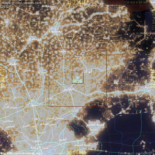
» Earth at Night: Flat Maps 2012, 2016