Munūf night lights from space
Night Light of Munūf (Monufia) from space (Egypt) Src. Average luminocity for 10x10km area is 88.5769% and for 50x50km: 70.417%.
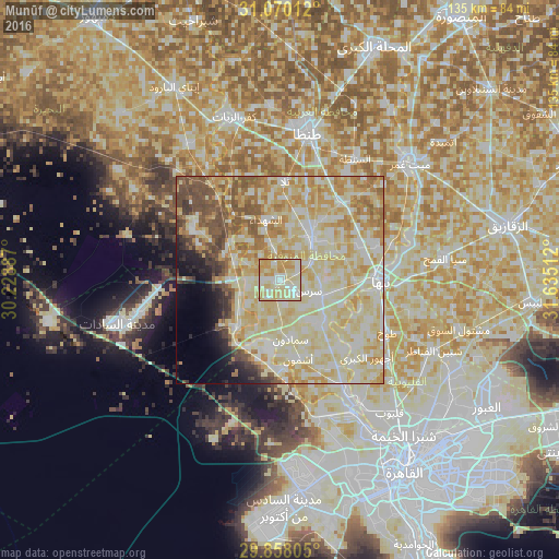
Analysis of Munūf night lights 2016
Square area 10x10 km:
 15.57%
90-99
31.87%80-89
31.5%70-79
20.7%60-69
0.37%50-59
0%40-49
0%30-39
0%20-29
0%10-19
0%0-9
0%Square area 50x50 km:
10.16%90-99
22.04%80-89
23.7%70-79
10.86%60-69
6.01%50-59
5.73%40-49
4.29%30-39
2.24%20-29
2.2%10-19
3.46%0-9
9.32%Clear (daylight) street map image can be seen on geolist.org.
Map coordinates:
31° 4' 12.4" North, 30° 13' 43.9" East
30° 27' 57.5" North, 30° 55' 55.2" East
29° 51' 29" North, 31° 38' 6.4" East
Some cities around Munūf sort by population:
• Shibīn al Kawm
12.1 km =7.5 mi,  37°
37°
• Banhā
24.2 km =15 mi,  91°
91°
• Ashmūn
19.2 km =11.9 mi,  167°
167°
• Toukh
28.6 km =17.8 mi,  115°
115°
• Talā
23.8 km =14.8 mi,  2°
2°
• Ash Shuhadā’
14.9 km =9.3 mi,  347°
347°
• Quwaysinā
24.3 km =15.1 mi,  63°
63°
• Al Bājūr
10.8 km =6.7 mi,  111°
111°
352354 (p: 83,651)
Sources (retrieved 2019-11-25):
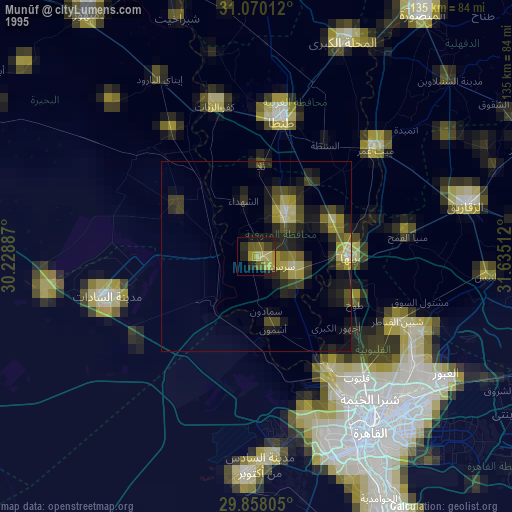
» NASA, Earths city lights 1995
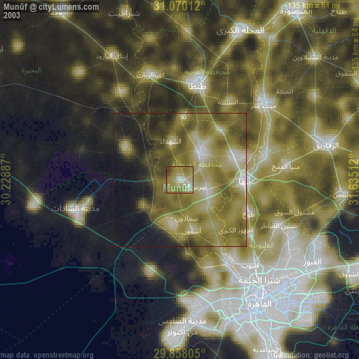
» NASA city lights 2003
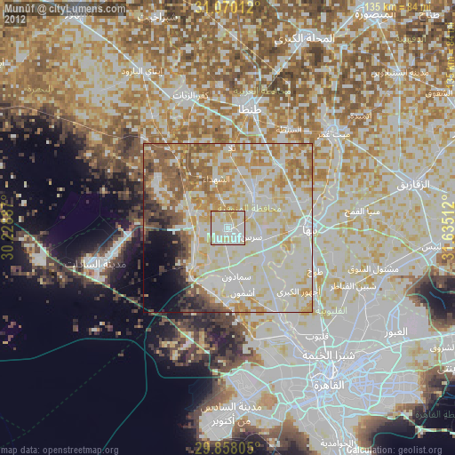
» Earth at Night: Flat Maps 2012, 2016