Kuressaare night lights from space
Night Light of Kuressaare (Saare) from space (Estonia) Src. Average luminocity for 10x10km area is 8.7413% and for 50x50km: 0.4442%.
Analysis of Kuressaare night lights 2016
Square area 10x10 km:
 0.32%
0.32%90-99
0.43%80-89
3.35%70-79
1.08%60-69
0.43%50-59
0.43%40-49
1.62%30-39
3.14%20-29
0%10-19
0.87%0-9
88.31%Square area 50x50 km:
0.01%90-99
0.02%80-89
0.14%70-79
0.04%60-69
0.02%50-59
0.02%40-49
0.19%30-39
0.17%20-29
0%10-19
0.04%0-9
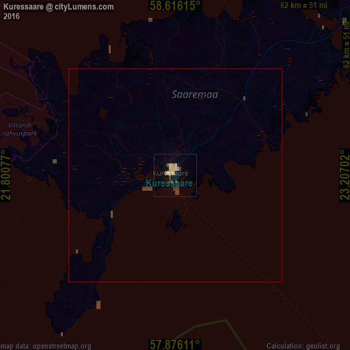
99.35%Clear (daylight) street map image can be seen on geolist.org.
Map coordinates:
58° 36' 58.1" North, 21° 48' 2.8" East
58° 14' 53" North, 22° 30' 14" East
57° 52' 34" North, 23° 12' 25.3" East
Some cities around Kuressaare sort by population:
• Pärnu
117.4 km =72.9 mi,  82°
82°
• Ventspils, LV
110.2 km =68.5 mi,  210°
210°
• Talsi, LV
111.6 km =69.3 mi,  177°
177°
• Haapsalu
97.9 km =60.8 mi,  37°
37°
• Kärdla
84.6 km =52.6 mi,  9°
9°
• Mērsrags, LV
107.9 km =67 mi,  160°
160°
• Roja, LV
84.9 km =52.8 mi,  167°
167°
• Dundaga, LV
83.1 km =51.6 mi,  186°
186°
590939 (p: 14,921)
Sources (retrieved 2019-11-25):
» Earth at Night: Flat Maps 2012, 2016