Rocafuerte night lights from space
Night Light of Rocafuerte (Manabí) from space (Ecuador) Src. Average luminocity for 10x10km area is 27.7965% and for 50x50km: 12.0928%.
Analysis of Rocafuerte night lights 2016
Square area 10x10 km:
 0.22%
0.22%90-99
1.52%80-89
2.16%70-79
7.14%60-69
6.71%50-59
3.68%40-49
4.76%30-39
8.44%20-29
4.76%10-19
39.83%0-9
20.78%Square area 50x50 km:
0.82%90-99
1%80-89
1.74%70-79
1.89%60-69
2.19%50-59
1.04%40-49
2.51%30-39
2.87%20-29
3.31%10-19
9.69%0-9
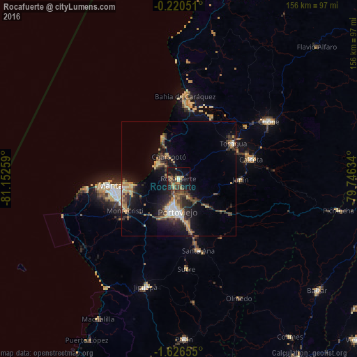
72.94%Clear (daylight) street map image can be seen on geolist.org.
Map coordinates:
0° 13' 13.8" South, 81° 9' 9.3" West
0° 55' 25" South, 80° 26' 58.1" West
1° 37' 35.6" South, 79° 44' 46.8" West
Some cities around Rocafuerte sort by population:
• Manta
29.6 km =18.4 mi,  261°
261°
• Portoviejo
14.6 km =9.1 mi,  182°
182°
• Bahía de Caráquez
36.3 km =22.6 mi,  4°
4°
• Montecristi
27 km =16.8 mi,  239°
239°
• Calceta
32.9 km =20.4 mi,  74°
74°
• Tosagua
28.3 km =17.6 mi,  57°
57°
• Santa Ana
32.7 km =20.3 mi,  164°
164°
• Junín
27.1 km =16.8 mi,  90°
90°
3652315 (p: 10,274)
Sources (retrieved 2019-11-25):
» Earth at Night: Flat Maps 2012, 2016