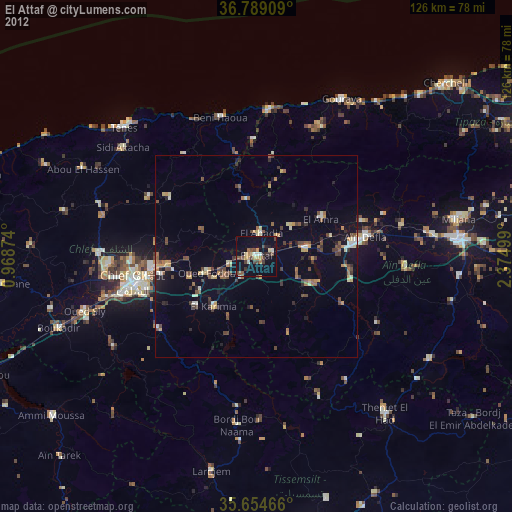
El Attaf night lights from space
Night Light of El Attaf (Aïn Defla) from space (Algeria) Src. Average luminocity for 10x10km area is 37.1171% and for 50x50km: 8.0904%.
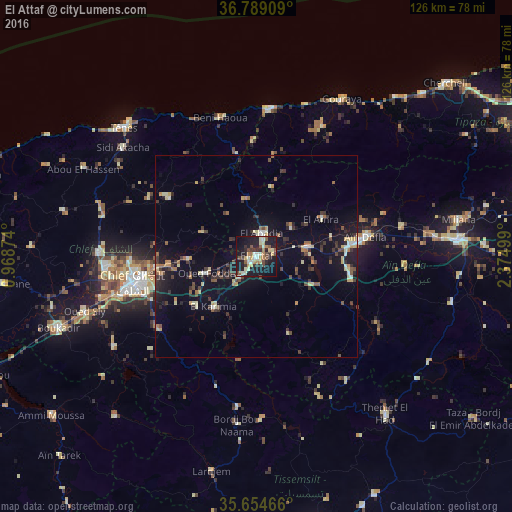
Analysis of El Attaf night lights 2016
Square area 10x10 km:
 2.27%
2.27%90-99
8.22%80-89
6.29%70-79
4.37%60-69
4.55%50-59
5.24%40-49
4.55%30-39
6.12%20-29
10.14%10-19
39.34%0-9
8.92%Square area 50x50 km:
0.38%90-99
0.93%80-89
1.22%70-79
0.86%60-69
0.89%50-59
0.93%40-49
1.26%30-39
1.99%20-29
1.82%10-19
7.32%0-9
82.39%Clear (daylight) street map image can be seen on geolist.org.
Map coordinates:
36° 47' 20.7" North, 0° 58' 7.5" East
36° 13' 26.1" North, 1° 40' 18.7" East
35° 39' 16.8" North, 2° 22' 30" East
Some cities around El Attaf sort by population:
• Chlef
31 km =19.3 mi,  257°
257°
• Ech Chettia
37.5 km =23.3 mi,  265°
265°
• Aïn Defla
26.9 km =16.7 mi,  80°
80°
• Oued Fodda
13.2 km =8.2 mi,  250°
250°
• Oued Sly
44.5 km =27.7 mi, 252°
• El Abadia
5.2 km =3.2 mi,  14°
14°
• Sidi Akkacha
42.6 km =26.5 mi,  308°
308°
• Abou el Hassan
47.7 km =29.6 mi,  296°
296°
2498590 (p: 43,837)
Sources (retrieved 2019-11-25):
» Earth at Night: Flat Maps 2012, 2016