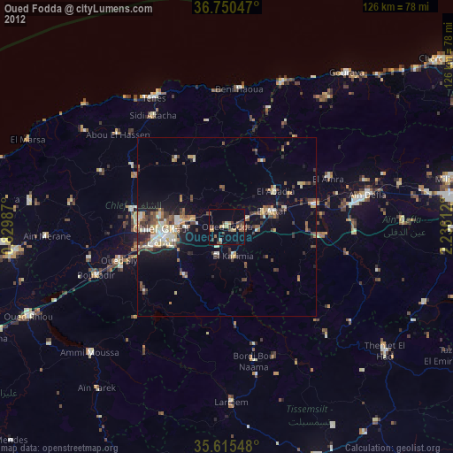
Oued Fodda night lights from space
Night Light of Oued Fodda (Chlef) from space (Algeria) Src. Average luminocity for 10x10km area is 17.4633% and for 50x50km: 11.5765%.
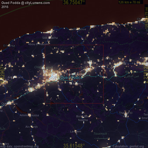
Analysis of Oued Fodda night lights 2016
Square area 10x10 km:
 0.7%
0.7%90-99
1.4%80-89
2.62%70-79
0.87%60-69
2.1%50-59
1.92%40-49
4.2%30-39
4.9%20-29
4.72%10-19
13.29%0-9
63.29%Square area 50x50 km:
1.05%90-99
1.56%80-89
1.83%70-79
1.31%60-69
1.78%50-59
1.24%40-49
1.74%30-39
2.29%20-29
2.93%10-19
7.75%0-9
76.53%Clear (daylight) street map image can be seen on geolist.org.
Map coordinates:
36° 45' 1.7" North, 0° 49' 47.5" East
36° 11' 6.1" North, 1° 31' 58.8" East
35° 36' 55.7" North, 2° 14' 10" East
Some cities around Oued Fodda sort by population:
• Chlef
17.9 km =11.1 mi,  262°
262°
• Ech Chettia
24.9 km =15.5 mi,  272°
272°
• Aïn Defla
40 km =24.9 mi,  77°
77°
• El Attaf
13.2 km =8.2 mi,  70°
70°
• El Abadia
16.6 km =10.3 mi,  55°
55°
• Boukadir
38.9 km =24.2 mi,  250°
250°
• Sidi Akkacha
37.3 km =23.2 mi,  326°
326°
• Abou el Hassan
39.7 km =24.7 mi,  310°
310°
2485618 (p: 44,523)
Sources (retrieved 2019-11-25):
» Earth at Night: Flat Maps 2012, 2016