Ech Chettia night lights from space
Night Light of Ech Chettia (Chlef) from space (Algeria) Src. Average luminocity for 10x10km area is 48.1591% and for 50x50km: 11.8179%.
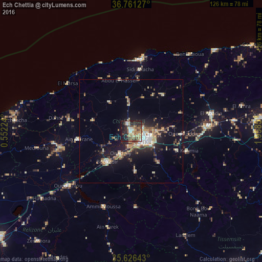

Analysis of Ech Chettia night lights 2016
Square area 10x10 km:
 4.72%
4.72%90-99
5.24%80-89
9.79%70-79
7.34%60-69
9.62%50-59
8.04%40-49
10.84%30-39
5.94%20-29
18.01%10-19
18.88%0-9
1.57%Square area 50x50 km:
1.06%90-99
1.47%80-89
1.98%70-79
1.49%60-69
1.98%50-59
1.29%40-49
1.55%30-39
2.13%20-29
3.08%10-19
8.59%0-9
75.39%Clear (daylight) street map image can be seen on geolist.org.
Map coordinates:
36° 45' 40.6" North, 0° 33' 8.1" East
36° 11' 45.3" North, 1° 15' 19.3" East
35° 37' 35.1" North, 1° 57' 30.6" East
Some cities around Ech Chettia sort by population:
• Chlef
7.9 km =4.9 mi,  115°
115°
• Oued Fodda
24.9 km =15.5 mi,  92°
92°
• ’Aïn Merane
25.8 km =16 mi,  261°
261°
• Oued Sly
11.7 km =7.3 mi,  205°
205°
• Boukadir
18.5 km =11.5 mi,  218°
218°
• Sidi Akkacha
30.2 km =18.8 mi,  8°
8°
• Abou el Hassan
25.1 km =15.6 mi,  347°
347°
• Mazouna
33.1 km =20.6 mi, 255°
2498954 (p: 167,955)
Sources (retrieved 2019-11-25):
» NASA, Earths city lights 1995
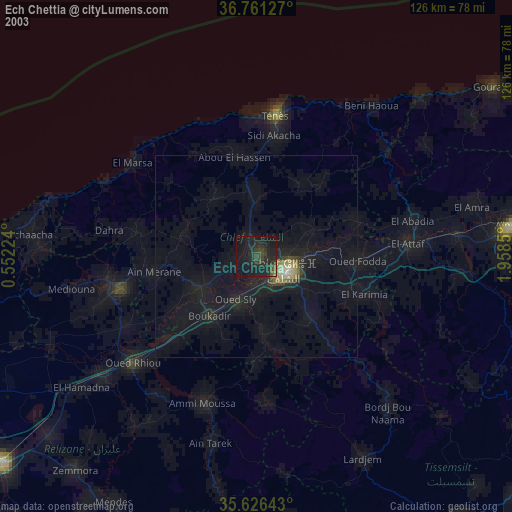
» NASA city lights 2003
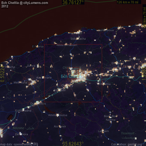
» Earth at Night: Flat Maps 2012, 2016