Chlef night lights from space
Night Light of Chlef from space (Algeria) Src. Average luminocity for 10x10km area is 74.9965% and for 50x50km: 12.2616%.
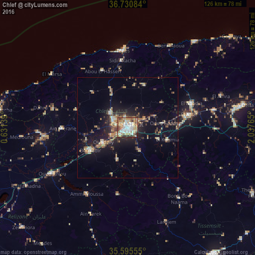
Analysis of Chlef night lights 2016
Square area 10x10 km:
 18.01%
90-99
19.23%80-89
13.29%70-79
11.71%60-69
12.41%50-59
7.69%40-49
6.64%30-39
5.59%20-29
4.72%10-19
0.7%0-9
0%Square area 50x50 km:
1.06%90-99
1.47%80-89
2.05%70-79
1.45%60-69
2.02%50-59
1.38%40-49
1.7%30-39
2.37%20-29
3.21%10-19
9.07%0-9
74.21%Clear (daylight) street map image can be seen on geolist.org.
Map coordinates:
36° 43' 51" North, 0° 37' 53" East
36° 9' 54.9" North, 1° 20' 4.3" East
35° 35' 44" North, 2° 2' 15.5" East
Some cities around Chlef sort by population:
• Ech Chettia
7.9 km =4.9 mi,  295°
295°
• Oued Fodda
17.9 km =11.1 mi,  82°
82°
• El Attaf
31 km =19.3 mi, 77°
• ’Aïn Merane
32.7 km =20.3 mi,  269°
269°
• Oued Sly
14.1 km =8.8 mi,  239°
239°
• Boukadir
21.7 km =13.5 mi, 239°
• Sidi Akkacha
33.4 km =20.8 mi,  355°
355°
• Abou el Hassan
30.6 km =19 mi,  336°
336°
2498611 (p: 178,616)
Sources (retrieved 2019-11-25):
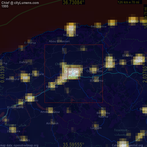
» NASA, Earths city lights 1995
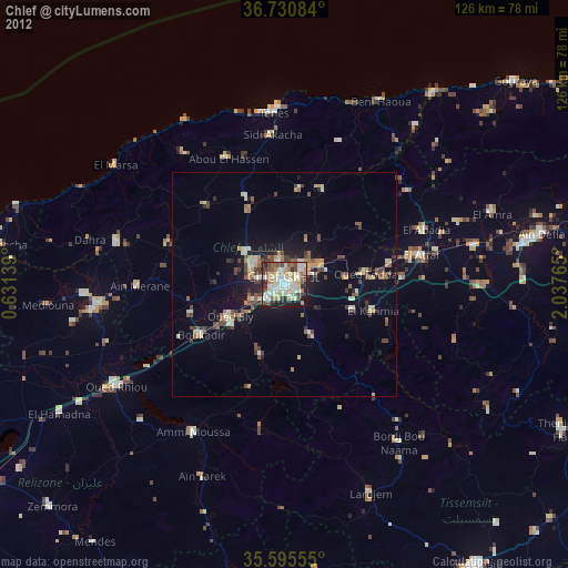
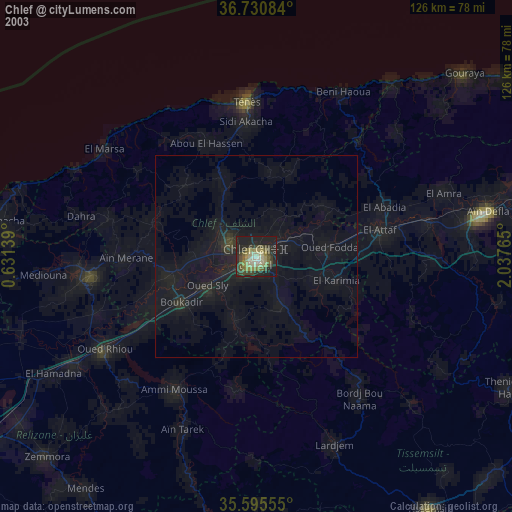
» NASA city lights 2003
» Earth at Night: Flat Maps 2012, 2016