San Fernando de Monte Cristi night lights from space
Night Light of San Fernando de Monte Cristi (Monte Cristi) from space (Dominican Republic) Src. Average luminocity for 10x10km area is 10.6126% and for 50x50km: 1.1225%.
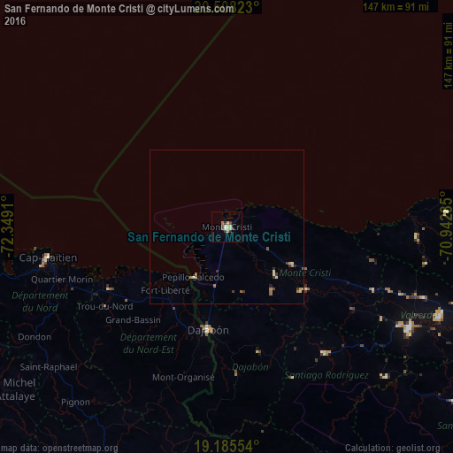
Analysis of San Fernando de Monte Cristi night lights 2016
Square area 10x10 km:
 0%
0%90-99
3.46%80-89
0.87%70-79
2.6%60-69
0.87%50-59
0%40-49
1.08%30-39
4.11%20-29
0.87%10-19
0%0-9
86.15%Square area 50x50 km:
0%90-99
0.22%80-89
0.15%70-79
0.18%60-69
0.28%50-59
0.11%40-49
0.11%30-39
0.38%20-29
0.12%10-19
0.02%0-9
98.43%Clear (daylight) street map image can be seen on geolist.org.
Map coordinates:
20° 30' 29.6" North, 72° 20' 56.8" West
19° 50' 53.7" North, 71° 38' 45.5" West
19° 11' 7.9" North, 70° 56' 34.3" West
Some cities around San Fernando de Monte Cristi sort by population:
• Dajabón
33.9 km =21.1 mi,  191°
191°
• Sabaneta
52.1 km =32.4 mi,  142°
142°
• Villa Vásquez
24 km =14.9 mi,  119°
119°
• Fort Liberté, HT
28.8 km =17.9 mi,  224°
224°
• Trou du Nord, HT
47.2 km =29.3 mi,  236°
236°
• Las Matas de Santa Cruz
24.6 km =15.3 mi, 143°
• Ouanaminthe, HT
34.2 km =21.3 mi, 193°
• Loma de Cabrera
46.4 km =28.8 mi,  174°
174°
3493174 (p: 17,001)
Sources (retrieved 2019-11-25):
» Earth at Night: Flat Maps 2012, 2016