Peralta night lights from space
Night Light of Peralta (Azua) from space (Dominican Republic) Src. Average luminocity for 10x10km area is 1.186% and for 50x50km: 2.101%.
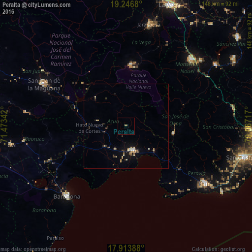
Analysis of Peralta night lights 2016
Square area 10x10 km:
 0%
0%90-99
0%80-89
0%70-79
0%60-69
1.65%50-59
0%40-49
0%30-39
0%20-29
0%10-19
0%0-9
98.35%Square area 50x50 km:
0.09%90-99
0.34%80-89
0.29%70-79
0.15%60-69
0.45%50-59
0.1%40-49
0.29%30-39
0.56%20-29
0.44%10-19
1.19%0-9
96.09%Clear (daylight) street map image can be seen on geolist.org.
Map coordinates:
19° 14' 48.5" North, 71° 28' 24.3" West
18° 34' 53.9" North, 70° 46' 13" West
17° 54' 50" North, 70° 4' 1.8" West
Some cities around Peralta sort by population:
• Azua
14.8 km =9.2 mi,  165°
165°
• Constanza
36.5 km =22.7 mi,  4°
4°
• San José de Ocoa
28.1 km =17.5 mi,  97°
97°
• Vicente Noble
48.5 km =30.1 mi,  243°
243°
• Sabana Yegua
30 km =18.6 mi,  300°
300°
• Padre Las Casas
24.4 km =15.2 mi,  313°
313°
• Yayas de Viajama
16.8 km =10.4 mi,  279°
279°
• Estebanía
19.2 km =11.9 mi,  135°
135°
3495020 (p: 7,236)
Sources (retrieved 2019-11-25):
» Earth at Night: Flat Maps 2012, 2016