Padre Las Casas night lights from space
Night Light of Padre Las Casas (Azua) from space (Dominican Republic) Src. Average luminocity for 10x10km area is 1.3946% and for 50x50km: 1.3089%.
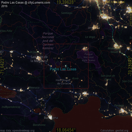
Analysis of Padre Las Casas night lights 2016
Square area 10x10 km:
 0%
0%90-99
0.21%80-89
0.62%70-79
0%60-69
0%50-59
0%40-49
0.83%30-39
0%20-29
0.21%10-19
0.83%0-9
97.31%Square area 50x50 km:
0.04%90-99
0.06%80-89
0.1%70-79
0.26%60-69
0.37%50-59
0.15%40-49
0.21%30-39
0.58%20-29
0.29%10-19
0.26%0-9
97.68%Clear (daylight) street map image can be seen on geolist.org.
Map coordinates:
19° 23' 46.6" North, 71° 38' 32.3" West
18° 43' 54.2" North, 70° 56' 21" West
18° 3' 52.3" North, 70° 14' 9.8" West
Some cities around Padre Las Casas sort by population:
• San Juan de la Maguana
31.7 km =19.7 mi,  285°
285°
• Azua
37.7 km =23.4 mi,  145°
145°
• Constanza
28.4 km =17.6 mi,  46°
46°
• Sabana Yegua
8.3 km =5.2 mi,  258°
258°
• Peralta
24.4 km =15.2 mi,  133°
133°
• Yayas de Viajama
13.9 km =8.6 mi,  174°
174°
• Juan de Herrera
35.2 km =21.9 mi,  296°
296°
• Vallejuelo
42.5 km =26.4 mi, 258°
3495664 (p: 8,485)
Sources (retrieved 2019-11-25):
» Earth at Night: Flat Maps 2012, 2016