Pedernales night lights from space
Night Light of Pedernales from space (Dominican Republic) Src. Average luminocity for 10x10km area is 4.9069% and for 50x50km: 0.2054%.
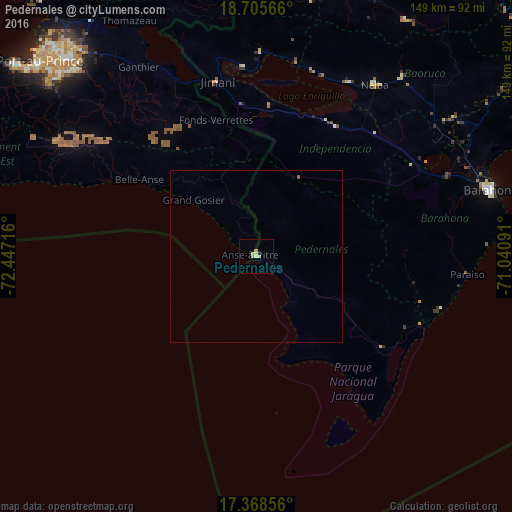
Analysis of Pedernales night lights 2016
Square area 10x10 km:
 0%
0%90-99
0.87%80-89
1.95%70-79
1.52%60-69
0.87%50-59
0%40-49
0%30-39
0%20-29
0%10-19
0.87%0-9
93.94%Square area 50x50 km:
0%90-99
0.03%80-89
0.07%70-79
0.06%60-69
0.03%50-59
0.03%40-49
0%30-39
0%20-29
0%10-19
0.03%0-9
99.74%Clear (daylight) street map image can be seen on geolist.org.
Map coordinates:
18° 42' 20.4" North, 72° 26' 49.8" West
18° 2' 18.2" North, 71° 44' 38.5" West
17° 22' 6.8" North, 71° 2' 27.3" West
Some cities around Pedernales sort by population:
• Neiba
60 km =37.3 mi,  34°
34°
• Fond Parisien, HT
57.7 km =35.9 mi,  334°
334°
• Duvergé
44.3 km =27.5 mi, 31°
• Cabral
60.5 km =37.6 mi,  67°
67°
• Villa Jaragua
57.3 km =35.6 mi, 28°
• Jimaní
51.6 km =32.1 mi,  347°
347°
• La Descubierta
59.2 km =36.8 mi,  1°
1°
• Enriquillo
56.2 km =34.9 mi,  105°
105°
3495137 (p: 11,072)
Sources (retrieved 2019-11-25):
» Earth at Night: Flat Maps 2012, 2016