Duvergé night lights from space
Night Light of Duvergé (Independencia) from space (Dominican Republic) Src. Average luminocity for 10x10km area is 2.969% and for 50x50km: 1.0556%.
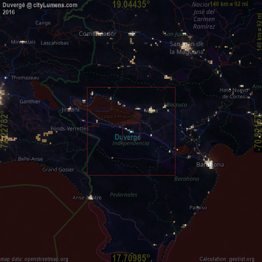
Analysis of Duvergé night lights 2016
Square area 10x10 km:
 0%
0%90-99
0.83%80-89
0.83%70-79
0%60-69
0%50-59
0.62%40-49
1.03%30-39
0.83%20-29
0%10-19
0.83%0-9
95.04%Square area 50x50 km:
0%90-99
0.15%80-89
0.27%70-79
0.16%60-69
0.23%50-59
0.1%40-49
0.14%30-39
0.25%20-29
0.18%10-19
0.11%0-9
98.41%Clear (daylight) street map image can be seen on geolist.org.
Map coordinates:
19° 2' 39.7" North, 72° 13' 40.2" West
18° 22' 42.2" North, 71° 31' 28.9" West
17° 42' 35.5" North, 70° 49' 17.7" West
Some cities around Duvergé sort by population:
• Neiba
15.9 km =9.9 mi,  44°
44°
• Cabral
35.5 km =22.1 mi,  113°
113°
• Vicente Noble
36.4 km =22.6 mi,  88°
88°
• Villa Jaragua
13.2 km =8.2 mi,  19°
19°
• Tamayo
34 km =21.1 mi, 86°
• Galván
23.6 km =14.7 mi,  54°
54°
• La Descubierta
30.4 km =18.9 mi,  314°
314°
• Vallejuelo
36.6 km =22.7 mi,  33°
33°
3508694 (p: 13,405)
Sources (retrieved 2019-11-25):
» Earth at Night: Flat Maps 2012, 2016