Baní night lights from space
Night Light of Baní (Peravia) from space (Dominican Republic) Src. Average luminocity for 10x10km area is 31.9442% and for 50x50km: 7.1706%.
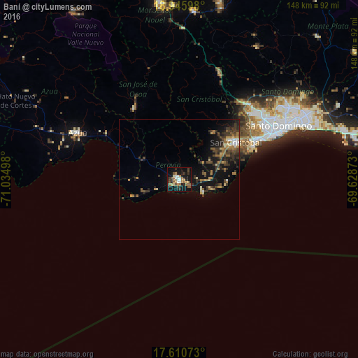
Analysis of Baní night lights 2016
Square area 10x10 km:
 3.1%
3.1%90-99
5.17%80-89
1.65%70-79
3.1%60-69
9.92%50-59
5.17%40-49
3.93%30-39
5.17%20-29
4.75%10-19
36.98%0-9
21.07%Square area 50x50 km:
0.41%90-99
0.67%80-89
0.7%70-79
0.78%60-69
1.52%50-59
0.95%40-49
1.47%30-39
2.45%20-29
1.58%10-19
7.11%0-9
82.37%Clear (daylight) street map image can be seen on geolist.org.
Map coordinates:
18° 56' 45.5" North, 71° 2' 5.9" West
18° 16' 46.7" North, 70° 19' 54.7" West
17° 36' 38.6" North, 69° 37' 43.4" West
Some cities around Baní sort by population:
• San Cristóbal
28.8 km =17.9 mi,  58°
58°
• Bajos de Haina
34.9 km =21.7 mi, 64°
• San José de Ocoa
34.9 km =21.7 mi,  328°
328°
• Cambita Garabitos
24 km =14.9 mi,  35°
35°
• San Gregorio de Nigua
28.7 km =17.8 mi,  66°
66°
• Paya
4.3 km =2.7 mi,  117°
117°
• Nizao
13.3 km =8.3 mi,  105°
105°
• Yaguate
17.1 km =10.6 mi, 68°
3512067 (p: 66,709)
Sources (retrieved 2019-11-25):
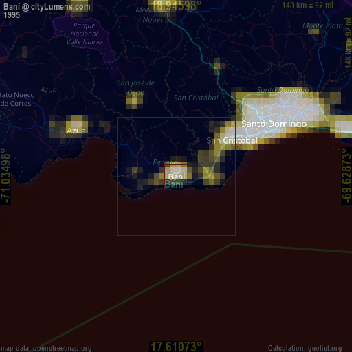
» NASA, Earths city lights 1995
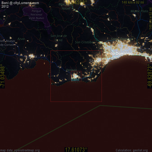
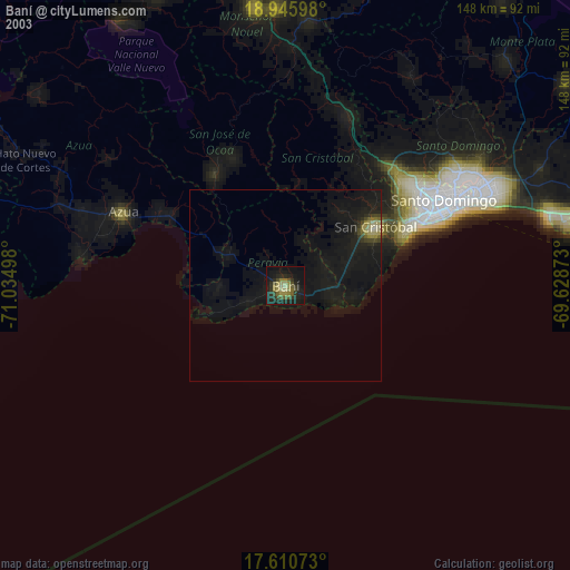
» NASA city lights 2003
» Earth at Night: Flat Maps 2012, 2016