Herning night lights from space
Night Light of Herning (Central Jutland) from space (Denmark) Src. Average luminocity for 10x10km area is 17.1232% and for 50x50km: 1.6694%.
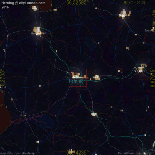
Analysis of Herning night lights 2016
Square area 10x10 km:
 1.32%
1.32%90-99
2.99%80-89
2.87%70-79
1.67%60-69
3.35%50-59
2.39%40-49
1.32%30-39
1.32%20-29
0%10-19
11.72%0-9
71.05%Square area 50x50 km:
0.13%90-99
0.32%80-89
0.21%70-79
0.2%60-69
0.31%50-59
0.17%40-49
0.24%30-39
0.1%20-29
0.04%10-19
0.79%0-9
97.49%Clear (daylight) street map image can be seen on geolist.org.
Map coordinates:
56° 31' 33.4" North, 8° 16' 24.6" East
56° 8' 10.1" North, 8° 58' 35.8" East
55° 44' 32.5" North, 9° 40' 47.1" East
Some cities around Herning sort by population:
• Silkeborg
35.4 km =22 mi,  83°
83°
• Viborg
43.9 km =27.3 mi,  36°
36°
• Holstebro
33.4 km =20.8 mi,  318°
318°
• Ikast
11.2 km =7 mi,  88°
88°
• Grindsted
42.2 km =26.2 mi,  184°
184°
• Skjern
36.1 km =22.4 mi,  235°
235°
• Brande
23.4 km =14.5 mi,  156°
156°
• Billund
45.5 km =28.3 mi,  169°
169°
2620425 (p: 44,763)
Sources (retrieved 2019-11-25):
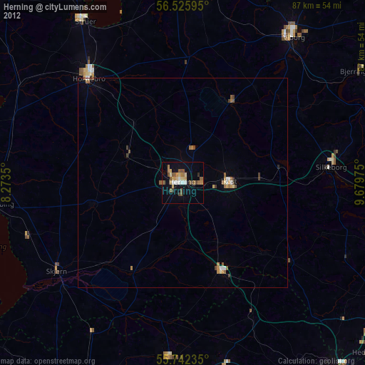
» Earth at Night: Flat Maps 2012, 2016