Zehdenick night lights from space
Night Light of Zehdenick (Brandenburg) from space (Germany) Src. Average luminocity for 10x10km area is 2.3796% and for 50x50km: 0.622%.
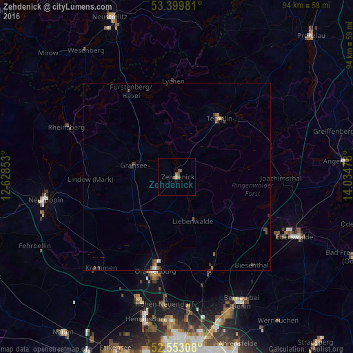
Analysis of Zehdenick night lights 2016
Square area 10x10 km:
 0%
0%90-99
0%80-89
0%70-79
0.53%60-69
0.53%50-59
1.06%40-49
1.59%30-39
0%20-29
0%10-19
0.53%0-9
95.77%Square area 50x50 km:
0.05%90-99
0.03%80-89
0.03%70-79
0.06%60-69
0.09%50-59
0.16%40-49
0.33%30-39
0.07%20-29
0.06%10-19
0.21%0-9
98.91%Clear (daylight) street map image can be seen on geolist.org.
Map coordinates:
53° 23' 59.3" North, 12° 37' 42.7" East
52° 58' 42.7" North, 13° 19' 53.9" East
52° 33' 11.1" North, 14° 2' 5.2" East
Some cities around Zehdenick sort by population:
• Oranienburg
25.5 km =15.8 mi,  193°
193°
• Wandlitz
27.6 km =17.1 mi,  162°
162°
• Templin
19.3 km =12 mi,  36°
36°
• Kremmen
31.7 km =19.7 mi,  220°
220°
• Fürstenberg
26.1 km =16.2 mi,  331°
331°
• Gransee
12.1 km =7.5 mi,  285°
285°
• Leegebruch
29.9 km =18.6 mi,  198°
198°
• Biesenthal
31.6 km =19.6 mi,  138°
138°
2805075 (p: 14,809)
Sources (retrieved 2019-11-25):
» Earth at Night: Flat Maps 2012, 2016