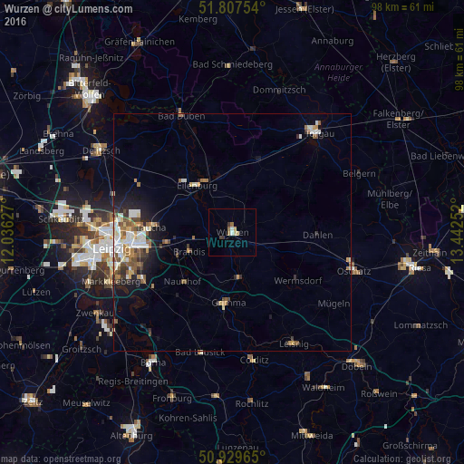
Wurzen night lights from space
Night Light of Wurzen (Saxony) from space (Germany) Src. Average luminocity for 10x10km area is 5.063% and for 50x50km: 4.994%.
Analysis of Wurzen night lights 2016
Square area 10x10 km:
 0.56%
0.56%90-99
0.56%80-89
1.4%70-79
0.28%60-69
1.26%50-59
0.42%40-49
0.14%30-39
1.54%20-29
0%10-19
0%0-9
93.84%Square area 50x50 km:
0.76%90-99
1.05%80-89
0.51%70-79
0.53%60-69
0.69%50-59
0.8%40-49
0.66%30-39
0.65%20-29
0.93%10-19
2.22%0-9
91.21%Clear (daylight) street map image can be seen on geolist.org.
Map coordinates:
51° 48' 27.1" North, 12° 2' 10.6" East
51° 22' 14.5" North, 12° 44' 21.8" East
50° 55' 46.7" North, 13° 26' 33.1" East
Some cities around Wurzen sort by population:
• Grimma
15.3 km =9.5 mi,  185°
185°
• Eilenburg
12.3 km =7.6 mi,  323°
323°
• Brandis
9.8 km =6.1 mi,  246°
246°
• Naunhof
14.7 km =9.1 mi,  225°
225°
• Borsdorf
14.5 km =9 mi,  260°
260°
• Machern
7.4 km =4.6 mi,  266°
266°
• Mockrehna
16.1 km =10 mi,  18°
18°
• Bennewitz
2.1 km =1.3 mi,  238°
238°
2805597 (p: 15,233)
Sources (retrieved 2019-11-25):
» Earth at Night: Flat Maps 2012, 2016