Wolfen night lights from space
Night Light of Wolfen (Saxony-Anhalt) from space (Germany) Src. Average luminocity for 10x10km area is 29.3992% and for 50x50km: 7.1915%.
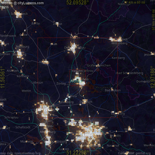
Analysis of Wolfen night lights 2016
Square area 10x10 km:
 6.3%
6.3%90-99
7.28%80-89
2.94%70-79
2.52%60-69
2.38%50-59
2.1%40-49
2.38%30-39
1.82%20-29
5.88%10-19
28.99%0-9
37.39%Square area 50x50 km:
1.28%90-99
1.55%80-89
0.59%70-79
0.58%60-69
0.76%50-59
0.74%40-49
0.77%30-39
0.71%20-29
1.28%10-19
5.47%0-9
86.27%Clear (daylight) street map image can be seen on geolist.org.
Map coordinates:
52° 5' 43" North, 11° 33' 56.2" East
51° 39' 40.4" North, 12° 16' 7.4" East
51° 13' 22.7" North, 12° 58' 18.7" East
Some cities around Wolfen sort by population:
• Dessau
19.8 km =12.3 mi,  355°
355°
• Köthen
22.9 km =14.2 mi,  296°
296°
• Delitzsch
15.9 km =9.9 mi,  161°
161°
• Bitterfeld-Wolfen
5.7 km =3.5 mi,  137°
137°
• Osternienburger Land
23.2 km =14.4 mi,  311°
311°
• Bad Düben
23.2 km =14.4 mi,  109°
109°
• Gräfenhainichen
15 km =9.3 mi,  59°
59°
• Sandersdorf
3.7 km =2.3 mi,  184°
184°
2806919 (p: 25,251)
Sources (retrieved 2019-11-25):
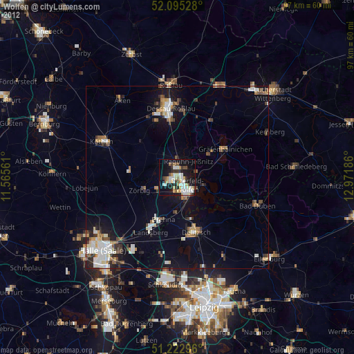
» Earth at Night: Flat Maps 2012, 2016