Delitzsch night lights from space
Night Light of Delitzsch (Saxony) from space (Germany) Src. Average luminocity for 10x10km area is 8.4906% and for 50x50km: 12.4703%.
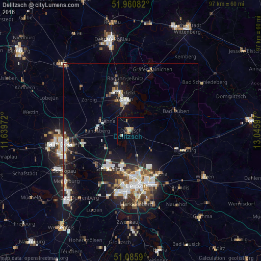
Analysis of Delitzsch night lights 2016
Square area 10x10 km:
 0.67%
0.67%90-99
0.4%80-89
1.74%70-79
1.47%60-69
1.6%50-59
0.67%40-49
2.01%30-39
0%20-29
1.07%10-19
0%0-9
90.37%Square area 50x50 km:
2.49%90-99
2.86%80-89
1.11%70-79
1.09%60-69
1.42%50-59
1.2%40-49
1.39%30-39
1.5%20-29
3.14%10-19
7.77%0-9
76.02%Clear (daylight) street map image can be seen on geolist.org.
Map coordinates:
51° 57' 39" North, 11° 38' 23" East
51° 31' 31.7" North, 12° 20' 34.2" East
51° 5' 9.2" North, 13° 2' 45.5" East
Some cities around Delitzsch sort by population:
• Leipzig
20.8 km =12.9 mi,  174°
174°
• Wolfen
15.9 km =9.9 mi,  341°
341°
• Schkeuditz
16.6 km =10.3 mi,  210°
210°
• Eilenburg
21.4 km =13.3 mi,  109°
109°
• Bitterfeld-Wolfen
11 km =6.8 mi,  353°
353°
• Taucha
18.6 km =11.6 mi,  148°
148°
• Bad Düben
18.3 km =11.4 mi,  66°
66°
• Sandersdorf
12.7 km =7.9 mi,  334°
334°
2938376 (p: 24,998)
Sources (retrieved 2019-11-25):
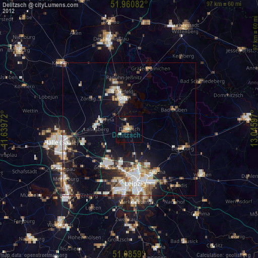
» Earth at Night: Flat Maps 2012, 2016