Dessau night lights from space
Night Light of Dessau (Saxony-Anhalt) from space (Germany) Src. Average luminocity for 10x10km area is 26.6317% and for 50x50km: 3.5927%.
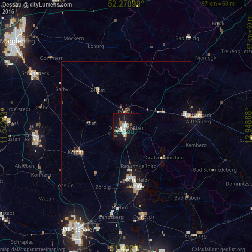
Analysis of Dessau night lights 2016
Square area 10x10 km:
 6.16%
6.16%90-99
5.04%80-89
2.8%70-79
0.42%60-69
3.36%50-59
4.48%40-49
2.38%30-39
1.96%20-29
1.12%10-19
35.01%0-9
37.25%Square area 50x50 km:
0.56%90-99
0.64%80-89
0.38%70-79
0.25%60-69
0.44%50-59
0.57%40-49
0.44%30-39
0.27%20-29
0.43%10-19
3.03%0-9
92.97%Clear (daylight) street map image can be seen on geolist.org.
Map coordinates:
52° 16' 15.6" North, 11° 32' 32.7" East
51° 50' 19.1" North, 12° 14' 44" East
51° 24' 7.6" North, 12° 56' 55.2" East
Some cities around Dessau sort by population:
• Köthen
21.2 km =13.2 mi,  242°
242°
• Wolfen
19.8 km =12.3 mi,  175°
175°
• Zerbst
18 km =11.2 mi,  322°
322°
• Roßlau
5.4 km =3.4 mi,  357°
357°
• Aken
13.9 km =8.6 mi,  276°
276°
• Osternienburger Land
16.3 km =10.1 mi,  254°
254°
• Coswig
15 km =9.3 mi,  69°
69°
• Gräfenhainichen
19 km =11.8 mi,  130°
130°
2937959 (p: 77,315)
Sources (retrieved 2019-11-25):
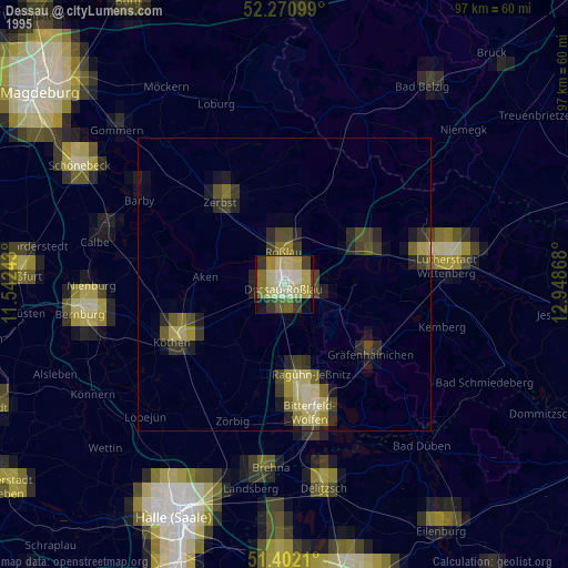
» NASA, Earths city lights 1995
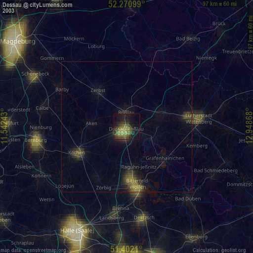
» NASA city lights 2003
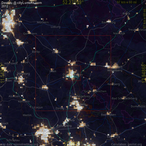
» Earth at Night: Flat Maps 2012, 2016