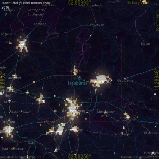
Isenbüttel night lights from space
Night Light of Isenbüttel (Lower Saxony) from space (Germany) Src. Average luminocity for 10x10km area is 4.6515% and for 50x50km: 6.5736%.
Analysis of Isenbüttel night lights 2016
Square area 10x10 km:
 0.38%
0.38%90-99
1.01%80-89
0.63%70-79
0.25%60-69
0%50-59
0.51%40-49
1.39%30-39
1.39%20-29
0.51%10-19
0.76%0-9
93.18%Square area 50x50 km:
1.14%90-99
1.28%80-89
0.53%70-79
0.71%60-69
0.79%50-59
0.85%40-49
0.66%30-39
0.61%20-29
1.83%10-19
5.09%0-9
86.5%Clear (daylight) street map image can be seen on geolist.org.
Map coordinates:
52° 51' 35.7" North, 9° 52' 48.7" East
52° 25' 60" North, 10° 34' 60" East
52° 0' 9.2" North, 11° 17' 11.3" East
Some cities around Isenbüttel sort by population:
• Wolfsburg
13.5 km =8.4 mi,  94°
94°
• Gifhorn
5.4 km =3.4 mi,  336°
336°
• Lehre
12.5 km =7.8 mi,  153°
153°
• Sassenburg
9.9 km =6.2 mi,  20°
20°
• Westhagen
11.1 km =6.9 mi,  106°
106°
• Meinersen
16.3 km =10.1 mi,  286°
286°
• Detmerode
12 km =7.5 mi, 113°
• Klein Schwülper
14.6 km =9.1 mi,  225°
225°
2895688 (p: 6,277)
Sources (retrieved 2019-11-25):
» Earth at Night: Flat Maps 2012, 2016