Wertheim night lights from space
Night Light of Wertheim (Baden-Württemberg) from space (Germany) Src. Average luminocity for 10x10km area is 4.3984% and for 50x50km: 2.3492%.
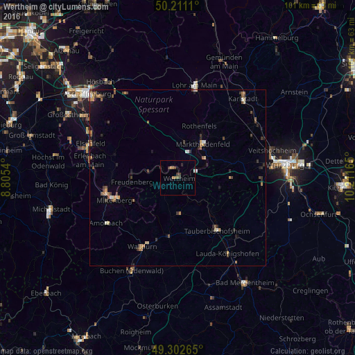
Analysis of Wertheim night lights 2016
Square area 10x10 km:
 0.4%
0.4%90-99
0.13%80-89
0%70-79
1.07%60-69
1.07%50-59
0.53%40-49
0.67%30-39
1.87%20-29
1.2%10-19
0%0-9
93.05%Square area 50x50 km:
0.12%90-99
0.23%80-89
0.21%70-79
0.3%60-69
0.56%50-59
0.37%40-49
0.5%30-39
0.44%20-29
0.46%10-19
0.6%0-9
96.22%Clear (daylight) street map image can be seen on geolist.org.
Map coordinates:
50° 12' 40" North, 8° 48' 19.4" East
49° 45' 32.4" North, 9° 30' 30.7" East
49° 18' 9.5" North, 10° 12' 41.9" East
Some cities around Wertheim sort by population:
• Tauberbischofsheim
18.6 km =11.6 mi,  143°
143°
• Walldürn
22 km =13.7 mi,  207°
207°
• Marktheidenfeld
11.8 km =7.3 mi,  35°
35°
• Miltenberg
18.4 km =11.4 mi,  250°
250°
• Hardheim
16.6 km =10.3 mi,  189°
189°
• Klingenberg am Main
23.8 km =14.8 mi,  277°
277°
• Külsheim
10 km =6.2 mi,  173°
173°
• Großheubach
20.8 km =12.9 mi,  260°
260°
2810716 (p: 24,869)
Sources (retrieved 2019-11-25):
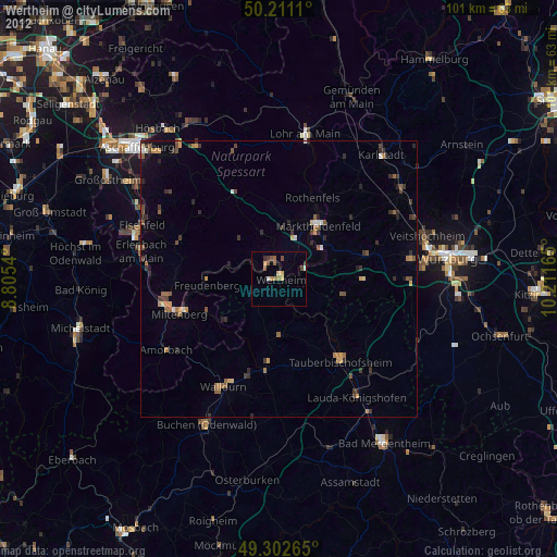
» Earth at Night: Flat Maps 2012, 2016