Miltenberg night lights from space
Night Light of Miltenberg (Bavaria) from space (Germany) Src. Average luminocity for 10x10km area is 8.6725% and for 50x50km: 2.3851%.
Analysis of Miltenberg night lights 2016
Square area 10x10 km:
 0.27%
0.27%90-99
1.07%80-89
0.8%70-79
1.6%60-69
2.01%50-59
1.6%40-49
2.41%30-39
0.94%20-29
0%10-19
0.53%0-9
88.77%Square area 50x50 km:
0.15%90-99
0.21%80-89
0.24%70-79
0.32%60-69
0.57%50-59
0.45%40-49
0.41%30-39
0.33%20-29
0.3%10-19
0.56%0-9
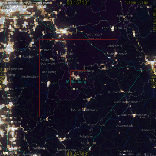
96.46%Clear (daylight) street map image can be seen on geolist.org.
Map coordinates:
50° 9' 25.7" North, 8° 33' 50.8" East
49° 42' 16.3" North, 9° 16' 2.1" East
49° 14' 51.6" North, 9° 58' 13.3" East
Some cities around Miltenberg sort by population:
• Wertheim
18.4 km =11.4 mi,  70°
70°
• Walldürn
15.2 km =9.4 mi,  152°
152°
• Erlenbach am Main
13.3 km =8.3 mi,  325°
325°
• Obernburg am Main
17.6 km =10.9 mi, 326°
• Elsenfeld
17.1 km =10.6 mi, 334°
• Hardheim
18 km =11.2 mi,  124°
124°
• Klingenberg am Main
10.9 km =6.8 mi, 325°
• Großheubach
4.2 km =2.6 mi,  309°
309°
2871079 (p: 9,613)
Sources (retrieved 2019-11-25):
» Earth at Night: Flat Maps 2012, 2016