Hardheim night lights from space
Night Light of Hardheim (Baden-Württemberg) from space (Germany) Src. Average luminocity for 10x10km area is 0.7213% and for 50x50km: 1.653%.
Analysis of Hardheim night lights 2016
Square area 10x10 km:
 0%
0%90-99
0%80-89
0%70-79
0%60-69
0%50-59
0.56%40-49
0%30-39
0.56%20-29
0%10-19
0.14%0-9
98.74%Square area 50x50 km:
0.08%90-99
0.15%80-89
0.16%70-79
0.25%60-69
0.36%50-59
0.37%40-49
0.24%30-39
0.28%20-29
0.39%10-19
0.28%0-9
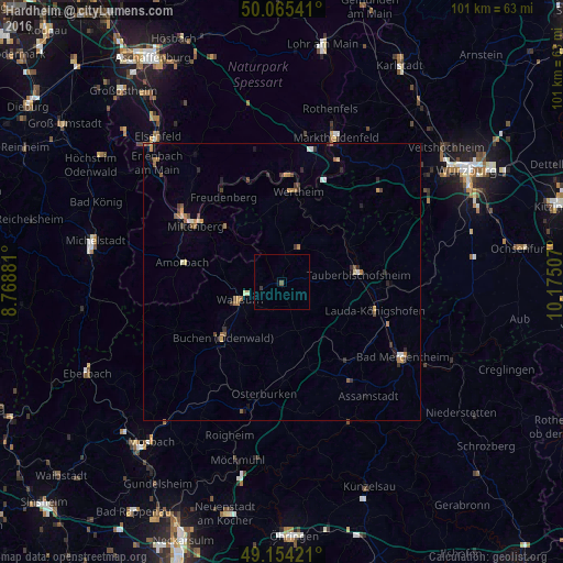
97.45%Clear (daylight) street map image can be seen on geolist.org.
Map coordinates:
50° 3' 55.5" North, 8° 46' 7.7" East
49° 36' 43" North, 9° 28' 19" East
49° 9' 15.2" North, 10° 10' 30.3" East
Some cities around Hardheim sort by population:
• Wertheim
16.6 km =10.3 mi,  9°
9°
• Buchen in Odenwald
14.5 km =9 mi,  227°
227°
• Lauda-Königshofen
17.8 km =11.1 mi,  106°
106°
• Tauberbischofsheim
13.8 km =8.6 mi,  84°
84°
• Walldürn
8.2 km =5.1 mi,  247°
247°
• Miltenberg
18 km =11.2 mi,  304°
304°
• Boxberg
19.1 km =11.9 mi,  140°
140°
• Külsheim
7.4 km =4.6 mi,  30°
30°
2910633 (p: 7,513)
Sources (retrieved 2019-11-25):
» Earth at Night: Flat Maps 2012, 2016