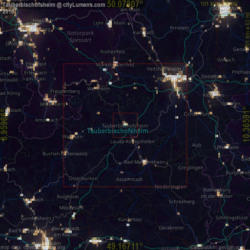
Tauberbischofsheim night lights from space
Night Light of Tauberbischofsheim (Baden-Württemberg) from space (Germany) Src. Average luminocity for 10x10km area is 2.5686% and for 50x50km: 3.1082%.
Analysis of Tauberbischofsheim night lights 2016
Square area 10x10 km:
 0%
0%90-99
0.56%80-89
0.56%70-79
0%60-69
0.56%50-59
0.56%40-49
0%30-39
0.14%20-29
1.4%10-19
0.42%0-9
95.8%Square area 50x50 km:
0.37%90-99
0.41%80-89
0.27%70-79
0.34%60-69
0.44%50-59
0.59%40-49
0.4%30-39
0.5%20-29
0.86%10-19
2.35%0-9
93.47%Clear (daylight) street map image can be seen on geolist.org.
Map coordinates:
50° 4' 41.1" North, 8° 57' 34.8" East
49° 37' 29" North, 9° 39' 46" East
49° 10' 1.6" North, 10° 21' 57.3" East
Some cities around Tauberbischofsheim sort by population:
• Wertheim
18.6 km =11.6 mi,  323°
323°
• Bad Mergentheim
16.7 km =10.4 mi,  151°
151°
• Lauda-Königshofen
7.4 km =4.6 mi, 153°
• Walldürn
21.8 km =13.5 mi,  257°
257°
• Hardheim
13.8 km =8.6 mi, 264°
• Boxberg
16.2 km =10.1 mi,  185°
185°
• Külsheim
11.2 km =7 mi,  296°
296°
• Igersheim
18.3 km =11.4 mi,  142°
142°
2823854 (p: 13,293)
Sources (retrieved 2019-11-25):
» Earth at Night: Flat Maps 2012, 2016