Wermsdorf night lights from space
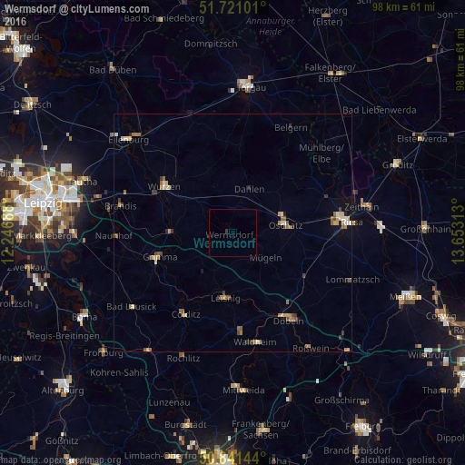
Night Light of Wermsdorf (Saxony) from space (Germany) Src. Average luminocity for 10x10km area is 0.2129% and for 50x50km: 1.9804%.
Analysis of Wermsdorf night lights 2016
Square area 10x10 km:
 0%
0%90-99
0%80-89
0%70-79
0%60-69
0%50-59
0%40-49
0%30-39
0.56%20-29
0%10-19
0%0-9
99.44%Square area 50x50 km:
0.12%90-99
0.22%80-89
0.32%70-79
0.3%60-69
0.44%50-59
0.4%40-49
0.27%30-39
0.28%20-29
0.17%10-19
0.37%0-9
97.11%Clear (daylight) street map image can be seen on geolist.org.
Map coordinates:
51° 43' 15.6" North, 12° 14' 48.8" East
51° 16' 60" North, 12° 57' 0" East
50° 50' 29.2" North, 13° 39' 11.3" East
Some cities around Wermsdorf sort by population:
• Grimma
17 km =10.6 mi,  250°
250°
• Oschatz
11.3 km =7 mi,  80°
80°
• Wurzen
17.6 km =10.9 mi,  303°
303°
• Hartha
20.6 km =12.8 mi,  175°
175°
• Leisnig
14.1 km =8.8 mi,  186°
186°
• Bennewitz
18.5 km =11.5 mi, 297°
• Dahlen
9.7 km =6 mi,  20°
20°
• Colditz
20.1 km =12.5 mi,  210°
210°
2810848 (p: 6,074)
Sources (retrieved 2019-11-25):
» Earth at Night: Flat Maps 2012, 2016