Dahlen night lights from space
Night Light of Dahlen (Saxony) from space (Germany) Src. Average luminocity for 10x10km area is 0.2815% and for 50x50km: 1.918%.
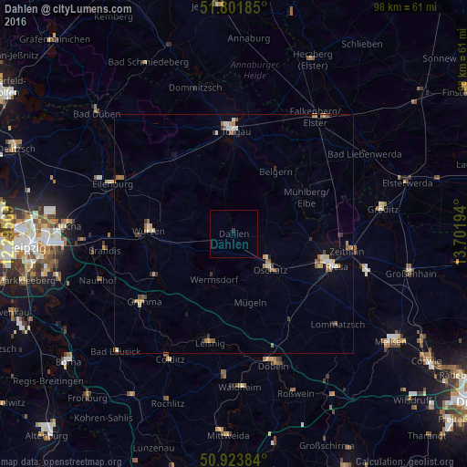
Analysis of Dahlen night lights 2016
Square area 10x10 km:
 0%
0%90-99
0%80-89
0%70-79
0%60-69
0%50-59
0%40-49
0%30-39
0%20-29
0.56%10-19
0%0-9
99.44%Square area 50x50 km:
0.17%90-99
0.29%80-89
0.21%70-79
0.25%60-69
0.4%50-59
0.37%40-49
0.15%30-39
0.22%20-29
0.2%10-19
0.44%0-9
97.31%Clear (daylight) street map image can be seen on geolist.org.
Map coordinates:
51° 48' 6.7" North, 12° 17' 44.5" East
51° 21' 53.8" North, 12° 59' 55.7" East
50° 55' 25.8" North, 13° 42' 7" East
Some cities around Dahlen sort by population:
• Riesa
21.3 km =13.2 mi,  107°
107°
• Torgau
21.7 km =13.5 mi,  359°
359°
• Oschatz
10.6 km =6.6 mi,  133°
133°
• Wurzen
18 km =11.2 mi,  272°
272°
• Wermsdorf
9.7 km =6 mi,  200°
200°
• Mockrehna
20.4 km =12.7 mi,  321°
321°
• Bennewitz
19.8 km =12.3 mi, 268°
• Belgern
15.7 km =9.8 mi,  33°
33°
2939434 (p: 5,211)
Sources (retrieved 2019-11-25):
» Earth at Night: Flat Maps 2012, 2016