Waren night lights from space
Night Light of Waren (Mecklenburg-Vorpommern) from space (Germany) Src. Average luminocity for 10x10km area is 6.5278% and for 50x50km: 0.5337%.
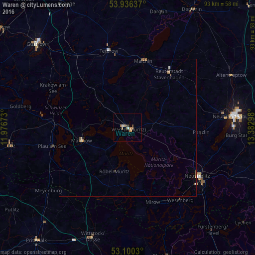
Analysis of Waren night lights 2016
Square area 10x10 km:
 0.4%
0.4%90-99
1.19%80-89
0.53%70-79
0.79%60-69
1.59%50-59
1.85%40-49
1.19%30-39
0.4%20-29
0%10-19
0%0-9
92.06%Square area 50x50 km:
0.02%90-99
0.11%80-89
0.04%70-79
0.06%60-69
0.16%50-59
0.12%40-49
0.12%30-39
0.03%20-29
0.05%10-19
0.02%0-9
99.29%Clear (daylight) street map image can be seen on geolist.org.
Map coordinates:
53° 56' 10.9" North, 11° 58' 36.2" East
53° 31' 13.4" North, 12° 40' 47.5" East
53° 6' 1.1" North, 13° 22' 58.7" East
Some cities around Waren sort by population:
• Neubrandenburg
39.6 km =24.6 mi,  82°
82°
• Neustrelitz
31.5 km =19.6 mi,  124°
124°
• Wittstock
42 km =26.1 mi,  198°
198°
• Teterow
29.2 km =18.1 mi,  346°
346°
• Malchin
25 km =15.5 mi,  13°
13°
• Malchow
17.8 km =11.1 mi,  253°
253°
• Plau am See
28.5 km =17.7 mi,  255°
255°
• Röbel
16.9 km =10.5 mi, 197°
2814131 (p: 21,470)
Sources (retrieved 2019-11-25):
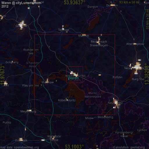
» Earth at Night: Flat Maps 2012, 2016