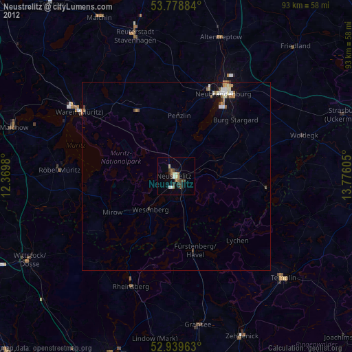
Neustrelitz night lights from space
Night Light of Neustrelitz (Mecklenburg-Vorpommern) from space (Germany) Src. Average luminocity for 10x10km area is 9.172% and for 50x50km: 1.454%.
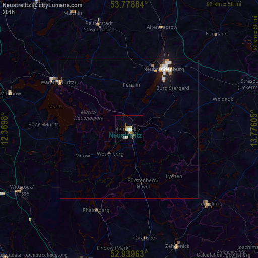
Analysis of Neustrelitz night lights 2016
Square area 10x10 km:
 0.79%
0.79%90-99
1.32%80-89
1.85%70-79
1.06%60-69
1.85%50-59
1.59%40-49
1.06%30-39
0%20-29
0.53%10-19
0.13%0-9
89.81%Square area 50x50 km:
0.26%90-99
0.24%80-89
0.14%70-79
0.2%60-69
0.28%50-59
0.12%40-49
0.14%30-39
0.02%20-29
0.12%10-19
0.98%0-9
97.49%Clear (daylight) street map image can be seen on geolist.org.
Map coordinates:
53° 46' 43.8" North, 12° 22' 11.3" East
53° 21' 40.7" North, 13° 4' 22.5" East
52° 56' 22.7" North, 13° 46' 33.8" East
Some cities around Neustrelitz sort by population:
• Neubrandenburg
26.2 km =16.3 mi,  30°
30°
• Waren
31.5 km =19.6 mi,  304°
304°
• Templin
39.3 km =24.4 mi,  133°
133°
• Rheinsberg
31.3 km =19.4 mi,  201°
201°
• Fürstenberg
20.2 km =12.6 mi,  166°
166°
• Gransee
39.8 km =24.7 mi, 171°
• Altentreptow
39.1 km =24.3 mi,  18°
18°
• Röbel
31.2 km =19.4 mi,  272°
272°
2864005 (p: 22,291)
Sources (retrieved 2019-11-25):
» Earth at Night: Flat Maps 2012, 2016