Waldkappel night lights from space
Night Light of Waldkappel (Hesse) from space (Germany) Src. Average luminocity for 10x10km area is 0% and for 50x50km: 1.4674%.
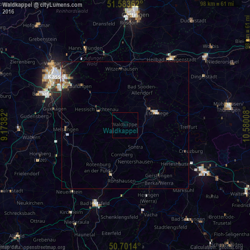
Analysis of Waldkappel night lights 2016
Square area 10x10 km:
 0%
0%90-99
0%80-89
0%70-79
0%60-69
0%50-59
0%40-49
0%30-39
0%20-29
0%10-19
0%0-9
100%Square area 50x50 km:
0.18%90-99
0.23%80-89
0.15%70-79
0.14%60-69
0.21%50-59
0.25%40-49
0.17%30-39
0.19%20-29
0.4%10-19
0.91%0-9
97.17%Clear (daylight) street map image can be seen on geolist.org.
Map coordinates:
51° 35' 1" North, 9° 10' 25.8" East
51° 8' 40.6" North, 9° 52' 37" East
50° 42' 5" North, 10° 34' 48.3" East
Some cities around Waldkappel sort by population:
• Eschwege
13 km =8.1 mi,  70°
70°
• Hessisch Lichtenau
12.6 km =7.8 mi,  298°
298°
• Bad Sooden-Allendorf
15.6 km =9.7 mi,  25°
25°
• Sontra
9.1 km =5.7 mi,  153°
153°
• Großalmerode
14.2 km =8.8 mi,  333°
333°
• Spangenberg
15.3 km =9.5 mi,  258°
258°
• Helsa
18.3 km =11.4 mi,  314°
314°
• Alheim
19.2 km =11.9 mi,  229°
229°
2814888 (p: 5,022)
Sources (retrieved 2019-11-25):
» Earth at Night: Flat Maps 2012, 2016