Eschwege night lights from space
Night Light of Eschwege (Hesse) from space (Germany) Src. Average luminocity for 10x10km area is 6.1123% and for 50x50km: 1.7064%.
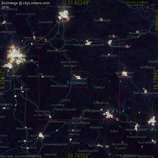
Analysis of Eschwege night lights 2016
Square area 10x10 km:
 1.34%
1.34%90-99
1.07%80-89
0.8%70-79
0.53%60-69
1.47%50-59
0.13%40-49
0%30-39
1.07%20-29
0%10-19
0%0-9
93.58%Square area 50x50 km:
0.26%90-99
0.32%80-89
0.31%70-79
0.16%60-69
0.16%50-59
0.13%40-49
0.24%30-39
0.16%20-29
0.15%10-19
0.61%0-9
97.5%Clear (daylight) street map image can be seen on geolist.org.
Map coordinates:
51° 37' 21" North, 9° 21' 0.6" East
51° 11' 1.9" North, 10° 3' 11.8" East
50° 44' 27.7" North, 10° 45' 23.1" East
Some cities around Eschwege sort by population:
• Heilbad Heiligenstadt
22.4 km =13.9 mi,  15°
15°
• Witzenhausen
22.2 km =13.8 mi,  321°
321°
• Hessisch Lichtenau
23.4 km =14.5 mi,  274°
274°
• Bad Sooden-Allendorf
11.1 km =6.9 mi,  330°
330°
• Sontra
14.9 km =9.3 mi,  213°
213°
• Großalmerode
20.5 km =12.7 mi,  293°
293°
• Treffurt
13.6 km =8.5 mi,  112°
112°
• Waldkappel
13 km =8.1 mi,  250°
250°
2928967 (p: 21,191)
Sources (retrieved 2019-11-25):
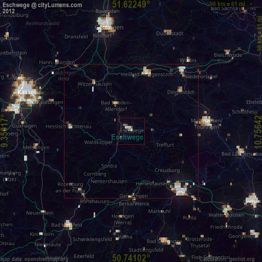
» Earth at Night: Flat Maps 2012, 2016