Unterhausen night lights from space
Night Light of Unterhausen (Baden-Württemberg) from space (Germany) Src. Average luminocity for 10x10km area is 8.9006% and for 50x50km: 8.2726%.
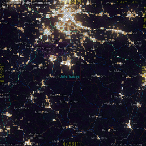
Analysis of Unterhausen night lights 2016
Square area 10x10 km:
 0.57%
0.57%90-99
0.57%80-89
0.85%70-79
0.28%60-69
1.99%50-59
1.99%40-49
0.57%30-39
0.57%20-29
2.84%10-19
14.35%0-9
75.43%Square area 50x50 km:
0.54%90-99
1.01%80-89
0.75%70-79
0.85%60-69
1.41%50-59
1.35%40-49
1.14%30-39
1.18%20-29
1.43%10-19
9.87%0-9
80.48%Clear (daylight) street map image can be seen on geolist.org.
Map coordinates:
48° 53' 39.2" North, 8° 33' 6.9" East
48° 25' 47.3" North, 9° 15' 18.1" East
47° 57' 40" North, 9° 57' 29.4" East
Some cities around Unterhausen sort by population:
• Reutlingen
7.8 km =4.8 mi,  331°
331°
• Metzingen
12.1 km =7.5 mi,  9°
9°
• Pfullingen
4.4 km =2.7 mi, 332°
• Bad Urach
12.7 km =7.9 mi,  57°
57°
• Eningen unter Achalm
6.4 km =4 mi,  2°
2°
• Gomaringen
12 km =7.5 mi,  282°
282°
• Sankt Johann
7.1 km =4.4 mi,  67°
67°
• Wannweil
12.4 km =7.7 mi,  321°
321°
2819399 (p: 9,030)
Sources (retrieved 2019-11-25):
» Earth at Night: Flat Maps 2012, 2016