Überlingen night lights from space
Night Light of Überlingen (Baden-Württemberg) from space (Germany) Src. Average luminocity for 10x10km area is 5.0298% and for 50x50km: 4.4928%.
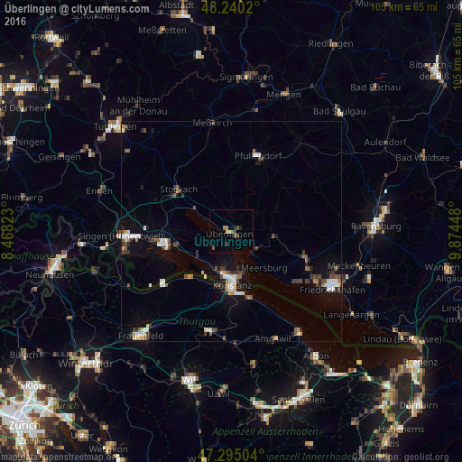
Analysis of Überlingen night lights 2016
Square area 10x10 km:
 0%
0%90-99
0%80-89
1.19%70-79
0%60-69
1.19%50-59
1.79%40-49
0.6%30-39
1.79%20-29
0.74%10-19
0.74%0-9
91.96%Square area 50x50 km:
0.65%90-99
0.72%80-89
0.34%70-79
0.36%60-69
0.45%50-59
0.6%40-49
0.76%30-39
0.8%20-29
0.63%10-19
2.39%0-9
92.31%Clear (daylight) street map image can be seen on geolist.org.
Map coordinates:
48° 14' 24.7" North, 8° 28' 5.6" East
47° 46' 11.2" North, 9° 10' 16.9" East
47° 17' 42.1" North, 9° 52' 28.1" East
Some cities around Überlingen sort by population:
• Konstanz
12.2 km =7.6 mi,  178°
178°
• Kreuzlingen, CH
13.3 km =8.3 mi, 178°
• Stockach
15.1 km =9.4 mi,  306°
306°
• Salem
8.9 km =5.5 mi,  95°
95°
• Uhldingen-Mühlhofen
7.1 km =4.4 mi,  124°
124°
• Allensbach
9.6 km =6 mi,  230°
230°
• Meersburg
11.2 km =7 mi,  138°
138°
• Reichenau
12.1 km =7.5 mi,  221°
221°
2820577 (p: 21,507)
Sources (retrieved 2019-11-25):
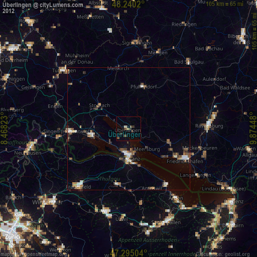
» Earth at Night: Flat Maps 2012, 2016