Konstanz night lights from space
Night Light of Konstanz (Baden-Württemberg) from space (Germany) Src. Average luminocity for 10x10km area is 24.6503% and for 50x50km: 6.1445%.
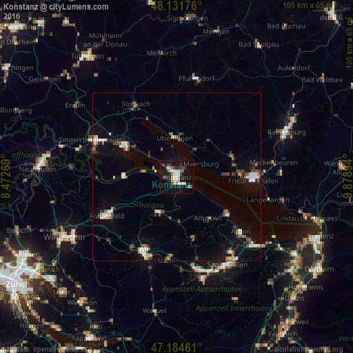
Analysis of Konstanz night lights 2016
Square area 10x10 km:
 3.57%
3.57%90-99
5.8%80-89
0.3%70-79
4.02%60-69
2.98%50-59
0.74%40-49
3.87%30-39
4.32%20-29
2.83%10-19
28.42%0-9
43.15%Square area 50x50 km:
0.79%90-99
0.92%80-89
0.6%70-79
0.47%60-69
0.63%50-59
0.67%40-49
1.07%30-39
1.03%20-29
0.88%10-19
3.88%0-9
89.05%Clear (daylight) street map image can be seen on geolist.org.
Map coordinates:
48° 7' 54.3" North, 8° 28' 21.7" East
47° 39' 37.2" North, 9° 10' 33" East
47° 11' 4.6" North, 9° 52' 44.2" East
Some cities around Konstanz sort by population:
• Überlingen
12.2 km =7.6 mi,  358°
358°
• Kreuzlingen, CH
1.1 km =0.7 mi,  183°
183°
• Salem
14.2 km =8.8 mi,  36°
36°
• Weinfelden, CH
11.9 km =7.4 mi,  208°
208°
• Uhldingen-Mühlhofen
9.8 km =6.1 mi,  34°
34°
• Allensbach
9.9 km =6.2 mi,  308°
308°
• Meersburg
8.1 km =5 mi,  62°
62°
• Reichenau
9 km =5.6 mi,  290°
290°
2885679 (p: 81,275)
Sources (retrieved 2019-11-25):
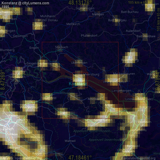
» NASA, Earths city lights 1995
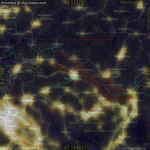
» NASA city lights 2003
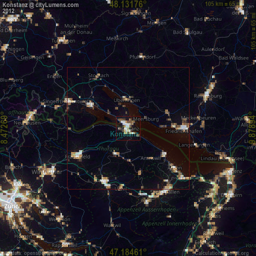
» Earth at Night: Flat Maps 2012, 2016