Bad Mergentheim night lights from space
Night Light of Bad Mergentheim (Baden-Württemberg) from space (Germany) Src. Average luminocity for 10x10km area is 4.0854% and for 50x50km: 0.657%.

Analysis of Bad Mergentheim night lights 2016
Square area 10x10 km:
 0.7%
0.7%90-99
0.42%80-89
0%70-79
0.84%60-69
0.84%50-59
0%40-49
0.28%30-39
0.98%20-29
1.54%10-19
1.82%0-9
92.58%Square area 50x50 km:
0.05%90-99
0.04%80-89
0.07%70-79
0.06%60-69
0.16%50-59
0.15%40-49
0.08%30-39
0.11%20-29
0.24%10-19
0.19%0-9
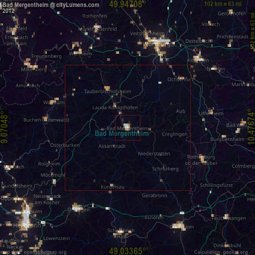
98.86%Clear (daylight) street map image can be seen on geolist.org.
Map coordinates:
49° 56' 49.5" North, 9° 4' 13.7" East
49° 29' 33" North, 9° 46' 25" East
49° 2' 1.1" North, 10° 28' 36.3" East
Some cities around Bad Mergentheim sort by population:
• Lauda-Königshofen
9.4 km =5.8 mi,  329°
329°
• Tauberbischofsheim
16.7 km =10.4 mi, 331°
• Weikersheim
9.2 km =5.7 mi,  99°
99°
• Boxberg
9.8 km =6.1 mi,  261°
261°
• Schrozberg
22.1 km =13.7 mi,  137°
137°
• Ingelfingen
23.1 km =14.4 mi,  202°
202°
• Igersheim
3.1 km =1.9 mi,  86°
86°
• Niederstetten
14.7 km =9.1 mi,  134°
134°
2953402 (p: 22,472)
Sources (retrieved 2019-11-25):
» Earth at Night: Flat Maps 2012, 2016