Lauda-Königshofen night lights from space
Night Light of Lauda-Königshofen (Baden-Württemberg) from space (Germany) Src. Average luminocity for 10x10km area is 1.6218% and for 50x50km: 1.8258%.
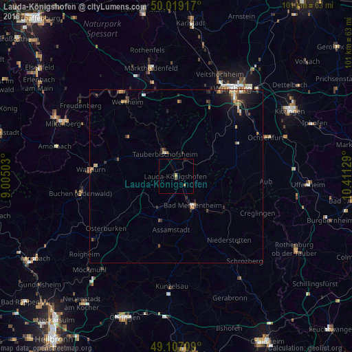
Analysis of Lauda-Königshofen night lights 2016
Square area 10x10 km:
 0%
0%90-99
0%80-89
0%70-79
0.56%60-69
0.56%50-59
0%40-49
0.56%30-39
0%20-29
0.28%10-19
0.56%0-9
97.48%Square area 50x50 km:
0.11%90-99
0.16%80-89
0.18%70-79
0.29%60-69
0.32%50-59
0.27%40-49
0.29%30-39
0.28%20-29
0.63%10-19
1.42%0-9
96.05%Clear (daylight) street map image can be seen on geolist.org.
Map coordinates:
50° 1' 9" North, 9° 0' 18.1" East
49° 33' 54.9" North, 9° 42' 29.4" East
49° 6' 25.5" North, 10° 24' 40.6" East
Some cities around Lauda-Königshofen sort by population:
• Bad Mergentheim
9.4 km =5.8 mi,  149°
149°
• Tauberbischofsheim
7.4 km =4.6 mi,  333°
333°
• Weikersheim
16.9 km =10.5 mi,  124°
124°
• Hardheim
17.8 km =11.1 mi,  286°
286°
• Boxberg
10.7 km =6.6 mi,  207°
207°
• Külsheim
17.6 km =10.9 mi,  311°
311°
• Igersheim
11.1 km =6.9 mi,  135°
135°
• Niederstetten
23.9 km =14.9 mi, 140°
3274966 (p: 15,278)
Sources (retrieved 2019-11-25):
» Earth at Night: Flat Maps 2012, 2016