Stadtroda night lights from space
Night Light of Stadtroda (Thuringia) from space (Germany) Src. Average luminocity for 10x10km area is 3.0028% and for 50x50km: 3.7022%.
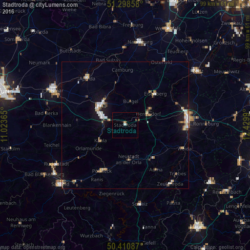
Analysis of Stadtroda night lights 2016
Square area 10x10 km:
 0.42%
0.42%90-99
0.7%80-89
0.56%70-79
0%60-69
0.56%50-59
0.42%40-49
0.14%30-39
0.14%20-29
0.42%10-19
0.56%0-9
96.08%Square area 50x50 km:
0.6%90-99
0.68%80-89
0.37%70-79
0.45%60-69
0.36%50-59
0.46%40-49
0.36%30-39
0.3%20-29
0.43%10-19
2.47%0-9
93.51%Clear (daylight) street map image can be seen on geolist.org.
Map coordinates:
51° 17' 54.9" North, 11° 1' 25.1" East
50° 51' 24.6" North, 11° 43' 36.4" East
50° 24' 39.1" North, 12° 25' 47.6" East
Some cities around Stadtroda sort by population:
• Jena
12.5 km =7.8 mi,  309°
309°
• Gera
25.1 km =15.6 mi,  84°
84°
• Apolda
23.9 km =14.9 mi,  321°
321°
• Pößneck
20.5 km =12.7 mi,  207°
207°
• Eisenberg
17.5 km =10.9 mi,  44°
44°
• Hermsdorf
10.1 km =6.3 mi,  63°
63°
• Kahla
11.4 km =7.1 mi,  240°
240°
• Neustadt an der Orla
13.5 km =8.4 mi,  174°
174°
2829750 (p: 6,695)
Sources (retrieved 2019-11-25):
» Earth at Night: Flat Maps 2012, 2016