Apolda night lights from space
Night Light of Apolda (Thuringia) from space (Germany) Src. Average luminocity for 10x10km area is 5.6364% and for 50x50km: 3.2667%.
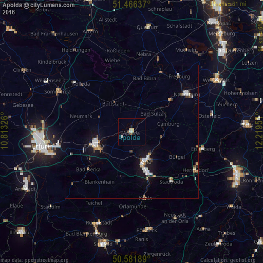
Analysis of Apolda night lights 2016
Square area 10x10 km:
 1.07%
1.07%90-99
0.8%80-89
0.8%70-79
1.07%60-69
0.67%50-59
0.4%40-49
0%30-39
0.53%20-29
0.8%10-19
0.67%0-9
93.18%Square area 50x50 km:
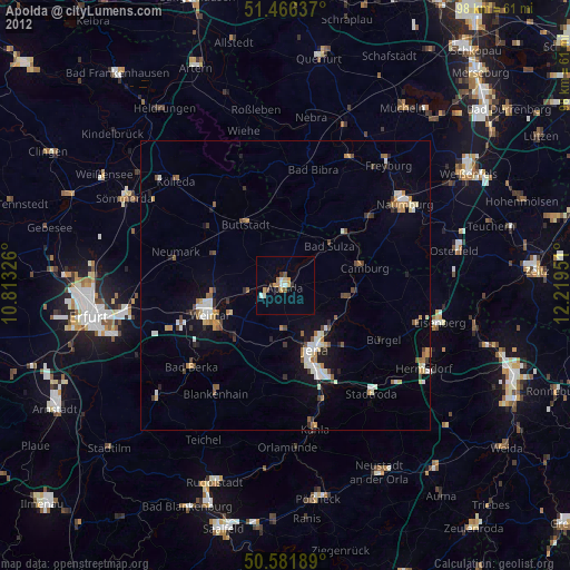
0.63%90-99
0.61%80-89
0.27%70-79
0.25%60-69
0.34%50-59
0.4%40-49
0.23%30-39
0.26%20-29
0.38%10-19
2.34%0-9
94.29%Clear (daylight) street map image can be seen on geolist.org.
Map coordinates:
51° 27' 58.9" North, 10° 48' 47.7" East
51° 1' 34.5" North, 11° 30' 59" East
50° 34' 54.8" North, 12° 13' 10.2" East
Some cities around Apolda sort by population:
• Jena
12 km =7.5 mi,  154°
154°
• Weimar
14.1 km =8.8 mi,  248°
248°
• Naumburg
24.7 km =15.3 mi,  56°
56°
• Bad Berka
21.6 km =13.4 mi,  229°
229°
• Kahla
24.9 km =15.5 mi,  168°
168°
• Blankenhain
22.1 km =13.7 mi,  213°
213°
• Stadtroda
23.9 km =14.9 mi,  141°
141°
• Bad Kösen
18.7 km =11.6 mi,  50°
50°
2955770 (p: 24,793)
Sources (retrieved 2019-11-25):
» Earth at Night: Flat Maps 2012, 2016