Stadtallendorf night lights from space
Night Light of Stadtallendorf (Hesse) from space (Germany) Src. Average luminocity for 10x10km area is 6.6373% and for 50x50km: 1.5692%.
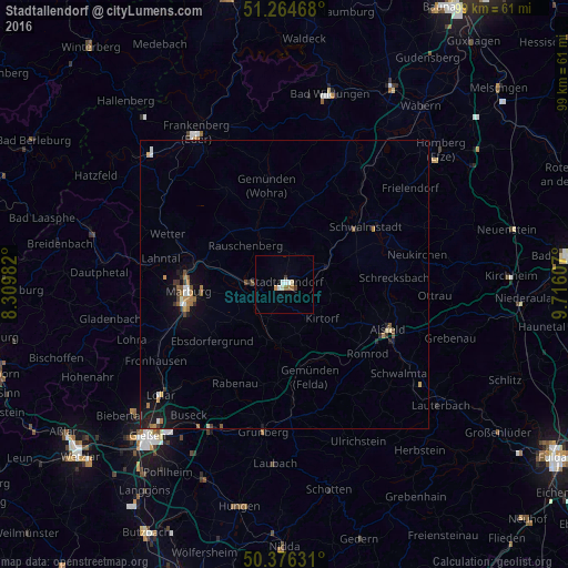
Analysis of Stadtallendorf night lights 2016
Square area 10x10 km:
 0.98%
0.98%90-99
1.82%80-89
0.56%70-79
0.56%60-69
1.68%50-59
0%40-49
0.28%30-39
0.84%20-29
0%10-19
0.28%0-9
93%Square area 50x50 km:
0.17%90-99
0.18%80-89
0.09%70-79
0.2%60-69
0.36%50-59
0.2%40-49
0.17%30-39
0.22%20-29
0.16%10-19
1.15%0-9
97.1%Clear (daylight) street map image can be seen on geolist.org.
Map coordinates:
51° 15' 52.8" North, 8° 18' 35.4" East
50° 49' 21.4" North, 9° 0' 46.6" East
50° 22' 34.7" North, 9° 42' 57.9" East
Some cities around Stadtallendorf sort by population:
• Marburg an der Lahn
17.1 km =10.6 mi,  264°
264°
• Schwalmstadt
18.9 km =11.7 mi,  49°
49°
• Kirchhain
6 km =3.7 mi,  274°
274°
• Neustadt (Hessen)
7.9 km =4.9 mi,  67°
67°
• Homberg
10.2 km =6.3 mi,  186°
186°
• Cölbe
16.6 km =10.3 mi,  280°
280°
• Amöneburg
7 km =4.3 mi,  244°
244°
• Willingshausen
13.5 km =8.4 mi,  76°
76°
2829804 (p: 21,720)
Sources (retrieved 2019-11-25):
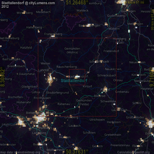
» Earth at Night: Flat Maps 2012, 2016